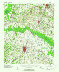
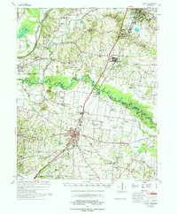
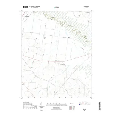
1961 Map of Rialto
USGS Topo · Published 1963About this map
The Hatchie River carves a winding path through the center of this 1961 West Tennessee landscape, separating Lauderdale and Tipton Counties. The era is defined by a dense network of rural infrastructure, where combined institutions like Plumer Grove Ch & Sch and Antioch Ch & Sch served as the primary social anchors for agrarian communities. In the west, the Fort Pillow State Prison Farm occupies a significant portion of the river bluffs near Sunk Lake, illustrating the intersection of state land use and the region's complex topography.
Find a feature on this map
73 named features on this map. Tap any name to fly to it.
Don’t see what you’re looking for? This feature index may not catch every label — zoom into the map to look around manually.
Map Details
Editions of this 1961 Rialto Map
This is the sole edition of this map. No revisions or reprints were ever made.
Historical Maps of Covington Through Time
15 maps found
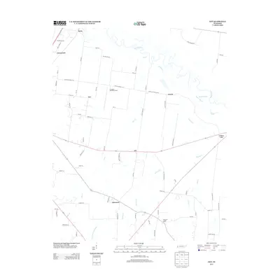
1961 Rialto
Tipton County, TN
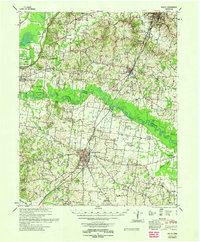
1962 Rialto
Tipton County, TN
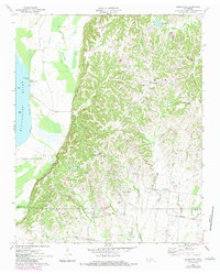
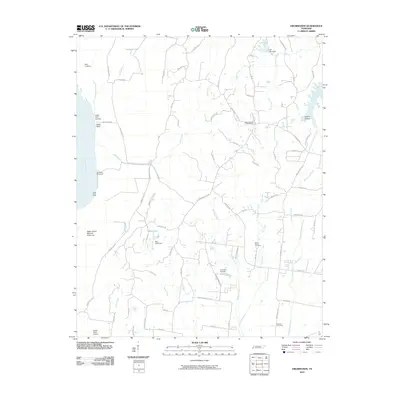
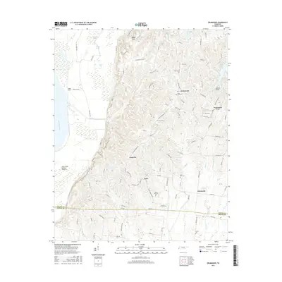
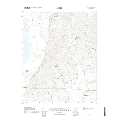
1970 Drummonds
Tipton County, TN
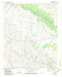
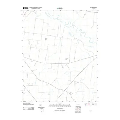
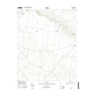
1972 Gift
Tipton County, TN
1977 Rialto
Tipton County, TN
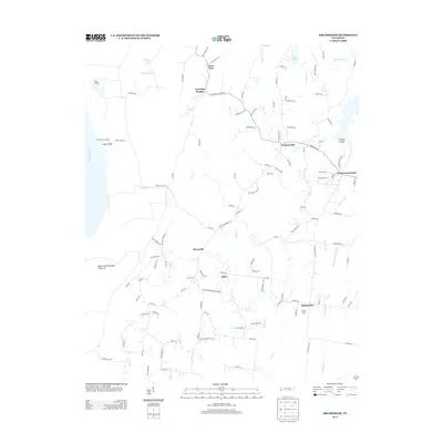
2010 Drummonds
Tipton County, TN
2010 Gift
Tipton County, TN
2013 Drummonds
Tipton County, TN
2013 Gift
Tipton County, TN
2016 Drummonds
Tipton County, TN
2016 Gift
Tipton County, TN
2019 Drummonds
Tipton County, TN
2019 Gift
Tipton County, TN
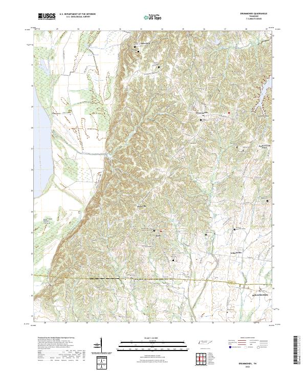
2022 Drummonds
Tipton County, TN
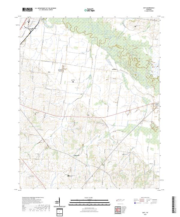
2022 Gift
Tipton County, TN