
1955 Map of Blytheville
USGS Topo · Published 1955About this map
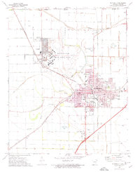
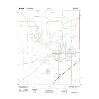
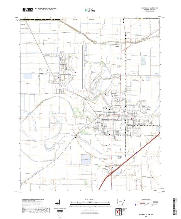
Blytheville serves as the industrial and transportation hub of this Mississippi River delta landscape, situated at the intersection of U.S. 61 and the St Louis-San Francisco RR. The map reveals a dense network of drainage ditches—such as Ditch No. 1 and Ditch No. 40—which transformed this lowland into a productive agricultural region. Beyond the city center, rural life is organized around small settlements and school-church complexes like Number Nine and Promised Land. Along the eastern edge, the Mississippi River creates a dynamic boundary, featuring Barfield Bend and several islands including Island No. 25 and Forked Deer Island. The map records specific social infrastructure of the mid-1950s, including the Mississippi County Training School and the Mississippi County Penal Farm, reflecting the era's civic and educational landscape before modern consolidation.
Find a feature on this map
85 named features on this map. Tap any name to fly to it.
Don’t see what you’re looking for? This feature index may not catch every label — zoom into the map to look around manually.
Map Details
Editions of this 1955 Blytheville Map
This is the sole edition of this map. No revisions or reprints were ever made.
Historical Maps of Blytheville Through Time
12 maps found

1939 Blytheville
Mississippi County, AR
1955 Blytheville
Mississippi County, AR
1956 Blytheville
Mississippi County, AR

1959 Blytheville
Mississippi County, AR
1972 Blytheville
Mississippi County, AR
1976 Blytheville
Mississippi County, AR
1986 Blytheville
Mississippi County, AR
2011 Blytheville
Mississippi County, AR
2014 Blytheville
Mississippi County, AR
2017 Blytheville
Mississippi County, AR
2020 Blytheville
Mississippi County, AR
2024 Blytheville
Mississippi County, AR