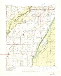
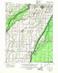
1934 Map of Kennett
USGS Topo · Published 1934About this map
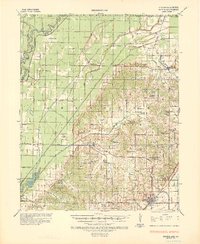
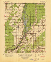
Kennett serves as the focal point of this 1930s survey, situated within a landscape defined by the drainage of the Bootheel. The St Francis River and Little River systems dictate the settlement patterns, with numerous island-like elevations such as Cypress Point Island and Bone Camp Island rising above the surrounding sloughs. A complex network of drainage canals, including Big Slough Ditch and Honey Cypress Ditch, reflects the era's massive engineering efforts to reclaim this bottomland for agriculture.
Find a feature on this map
128 named features on this map. Tap any name to fly to it.
Don’t see what you’re looking for? This feature index may not catch every label — zoom into the map to look around manually.
Map Details
Editions of this 1934 Kennett Map
This is the sole edition of this map. No revisions or reprints were ever made.
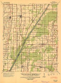
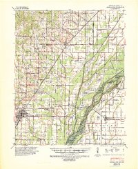
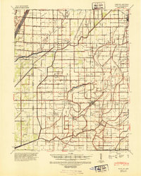
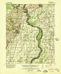
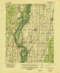
Other maps of this area
1935 · Rector
USGS Topo · 1:62,500

1939 · Blytheville
USGS Topo · 1:62,500
1940 · Pascola
USGS Topo · 1:62,500
1940 · Marmaduke
USGS Topo · 1:62,500
1940 · Kennett
USGS Topo · 1:62,500
1940 · Hayti
USGS Topo · 1:62,500
1940 · Piggott
USGS Topo · 1:62,500
1941 · Leachville
USGS Topo · 1:62,500
1941 · Manila
USGS Topo · 1:62,500

1953 · Memphis
USGS Topo · 1:250,000