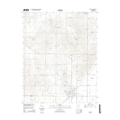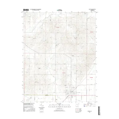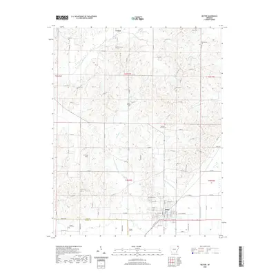
1935 Map of Rector
USGS Topo · Published 1936About this map
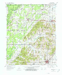
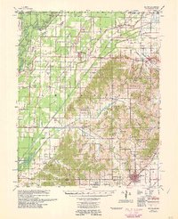
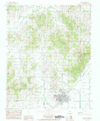
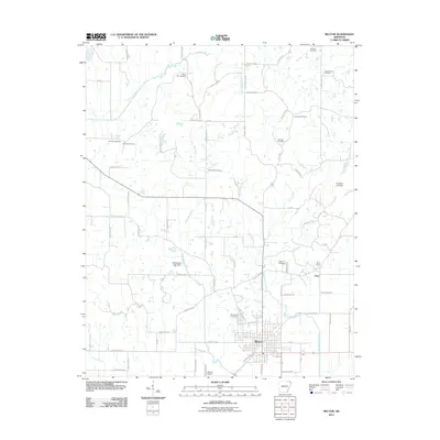
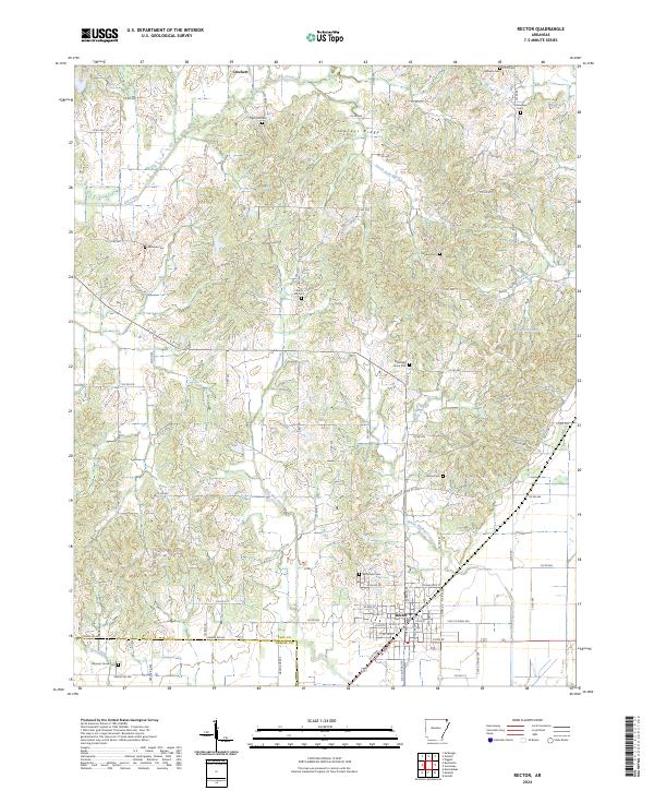
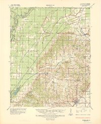
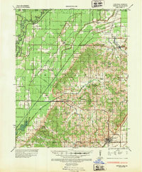
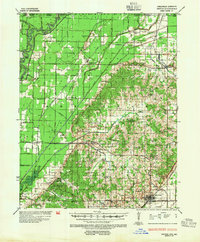
Rector and the surrounding Clay County lowlands are captured here in the mid-1930s, showing a landscape defined by an extensive network of drainage ditches designed to manage the heavy waters of the Black River basin. The map reveals the deep historical layering of the region, specifically marking the Meander Line 1827, which provides a rare glimpse into the original river course prior to modern engineering. The area is dense with community markers such as the Bloomington Grove Ch & Cem and Forty-four Sch, reflecting a rural society built around small school districts and country churches. The industrial footprint of the era is evident through the rail lines of the St Louis San Francisco and St Louis Southwestern, which connected towns like McDougal and Pollard to wider markets. From the heights of Bunker Hill to the wetlands near Cache Lake, this survey documents a pivotal moment of agricultural transformation through flood control.
Find a feature on this map
82 named features on this map. Tap any name to fly to it.
Don’t see what you’re looking for? This feature index may not catch every label — zoom into the map to look around manually.
Map Details
Editions of this 1935 Rector Map
3 editions found
Historical Maps of Rector Through Time
9 maps found