Loading...
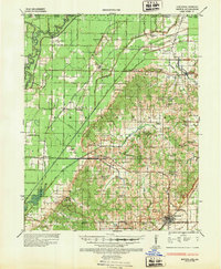
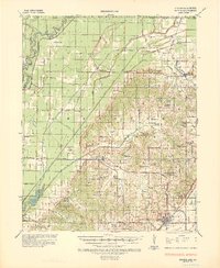
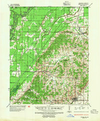
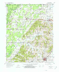
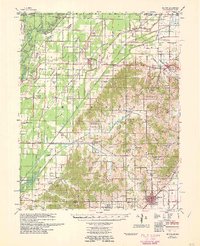
Loading map...1935 Map of Rector
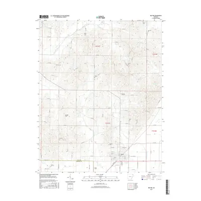
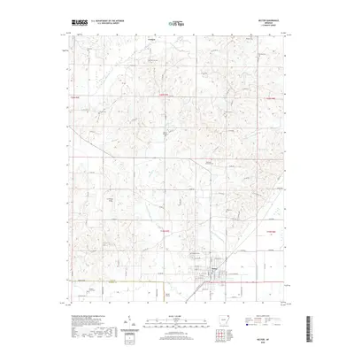
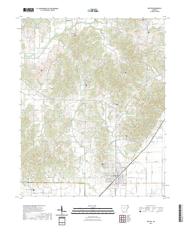
USGS Topo · Published 1947About this map
The Rector area of northeast Arkansas reveals a landscape defined by the transition from the low-lying wetlands of the Black River to the elevated terrain of Crowley's Ridge. In the 1930s, this region was a complex patchwork of drainage efforts, evidenced by a dense network of canals such as Cane Creek Ditch and numerous numbered ditches intended to reclaim the fertile bottomlands. These engineering projects supported a rural society organized around small community hubs like Boydsville and McDougal.
Find a feature on this map
89 named features on this map. Tap any name to fly to it.
Don’t see what you’re looking for? This feature index may not catch every label — zoom into the map to look around manually.
Map Details
Date Portrayed1935
Date Published1947
PublisherU.S. Geological Survey
Map TypeTopographic
Scale1:62,500
Physical Dimensions17.9 x 21.8 inches
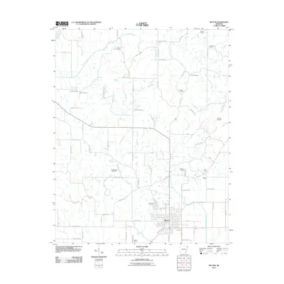
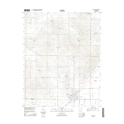
Editions of this 1935 Rector Map
3 editions found
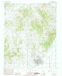
Historical Maps of Rector Through Time
9 maps found
Featured Locations
Source Details
SourceU.S. Geological Survey
CopyrightPublic Domain