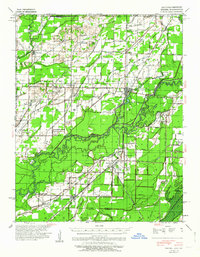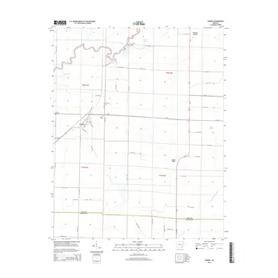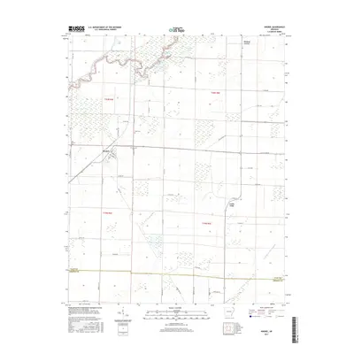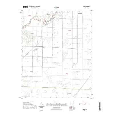
1935 Map of Knobel
USGS Topo · Published 1938About this map
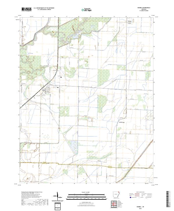
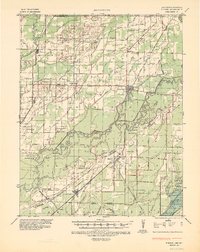
The Black River and Little Black River dominate this 1930s landscape, winding through a complex system of sloughs and cut-offs such as Cow Ford Bend and Little River Cut-off. The region reflects a massive engineering effort to manage the alluvial wetlands, evidenced by the extensive network of drainage features including Cypress Ditch No 1, Byrnes Lateral, and Main Ditch. This era shows the transition of the Bottomlands from swampy wilderness to a productive agricultural grid, centered on rail hubs like Corning and Knobel.
Find a feature on this map
101 named features on this map. Tap any name to fly to it.
Don’t see what you’re looking for? This feature index may not catch every label — zoom into the map to look around manually.
Map Details
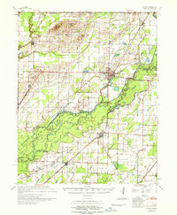
Editions of this 1935 Knobel Map
This is the sole edition of this map. No revisions or reprints were ever made.
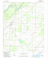
Historical Maps of Corning Through Time
9 maps found