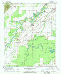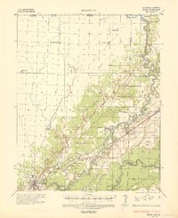
1935 Map of Reyno
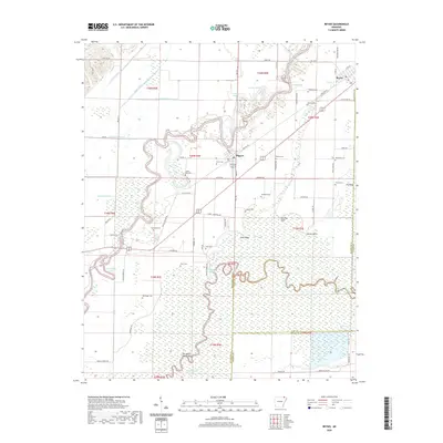
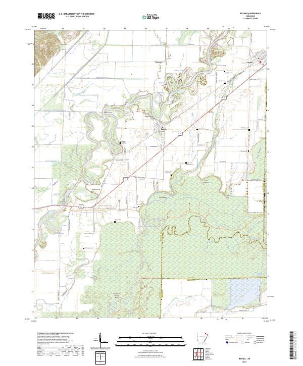
USGS Topo · Published 1938About this map
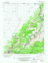
The Current River and Black River define this 1930s landscape, where river-crossing points like Biggers Ferry, Cochrum Ferry, and Richardson Ferry still served as critical infrastructure. Along the eastern edge, the meander lines from surveys in 1821 and 1850 show the shifting course of the waters over a century. The transition from the Ozark escarpment to the alluvial valley is clearly marked, featuring a network of drainage projects including Lateral No 7 and the Beaver Ditch. Local life is anchored at Reyno and Biggers, with rural education centers such as Running Lake Sch and Brown Sch scattered throughout the territory. The map also captures specialized industry in the era, specifically the Gas Pumping Plant located near the riverbank. Genealogists will find value in the placement of Johnson Cem, Blunt Cem, and Hide Cem.
Find a feature on this map
72 named features on this map. Tap any name to fly to it.
Don’t see what you’re looking for? This feature index may not catch every label — zoom into the map to look around manually.
Map Details
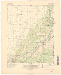
Editions of this 1935 Reyno Map
3 editions found
Historical Maps of Pocahontas Through Time
7 maps found