Loading...
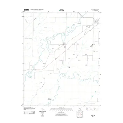
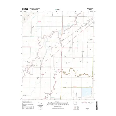
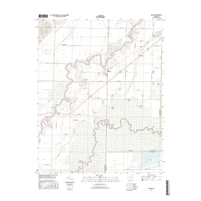
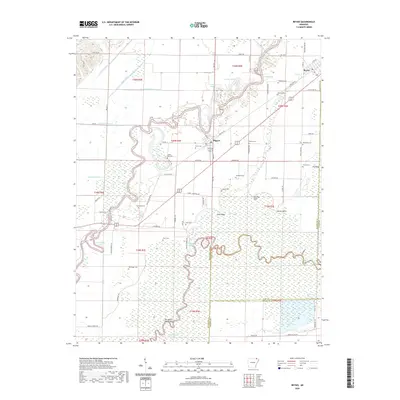
Loading map...1935 Map of Reyno
USGS Topo · Published 1966About this map
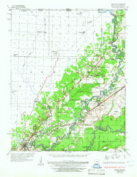
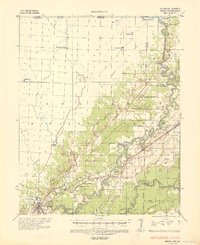
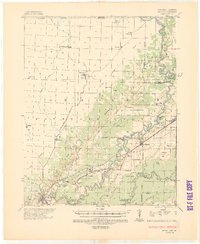
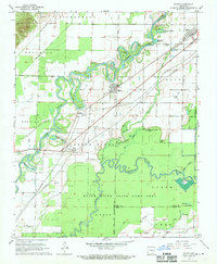
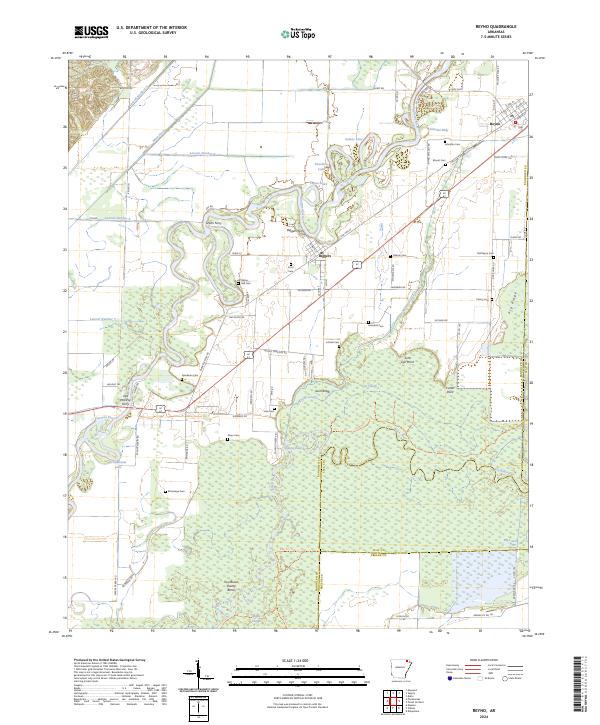
Pocahontas anchors the southwestern corner of this survey, where the Black River meets the Fourche River. The landscape is defined by the complex hydrology of the alluvial valley, marked by a massive Escarpment that separates the western uplands from the eastern bottomlands. This eastern half is a maze of river meanders, sloughs like Cane Slough, and an extensive drainage system including Main Ditch and numerous numbered laterals.
Find a feature on this map
67 named features on this map. Tap any name to fly to it.
Don’t see what you’re looking for? This feature index may not catch every label — zoom into the map to look around manually.
Map Details
Date Portrayed1935
Date Published1966
PublisherU.S. Geological Survey
Map TypeTopographic
Scale1:62,500
Physical Dimensions17 x 21.9 inches
Editions of this 1935 Reyno Map
3 editions found
Historical Maps of Pocahontas Through Time
7 maps found
Featured Locations
Source Details
SourceU.S. Geological Survey
CopyrightPublic Domain