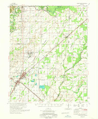
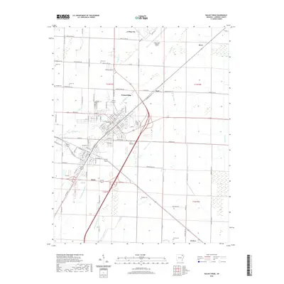
1935 Map of Walnut Ridge
USGS Topo · Published 1947About this map
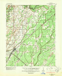
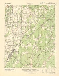
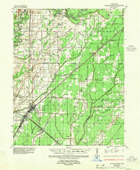
Walnut Ridge and the nearby rail junction of Hoxie serve as the primary anchors of this mid-1930s landscape, where the St Louis San Francisco RR and Missouri Pacific RR intersect. This transportation hub is situated in a region defined by complex hydrology, with the Black River meandering through the north and the Cache River to the south. The map documents an intricate system of sloughs, such as Float Slough and Nigger Head Slough, which weave between agricultural fields and smaller settlements.
Find a feature on this map
109 named features on this map. Tap any name to fly to it.
Don’t see what you’re looking for? This feature index may not catch every label — zoom into the map to look around manually.
Map Details
Editions of this 1935 Walnut Ridge Map
2 editions found
Historical Maps of Pocahontas Through Time
9 maps found
1932 Walnut Ridge
Lawrence County, AR
1935 Walnut Ridge
Lawrence County, AR
1965 Walnut Ridge
Lawrence County, AR
1968 Walnut Ridge
Lawrence County, AR
2011 Walnut Ridge
Lawrence County, AR
2014 Walnut Ridge
Lawrence County, AR
2017 Walnut Ridge
Lawrence County, AR
2020 Walnut Ridge
Lawrence County, AR
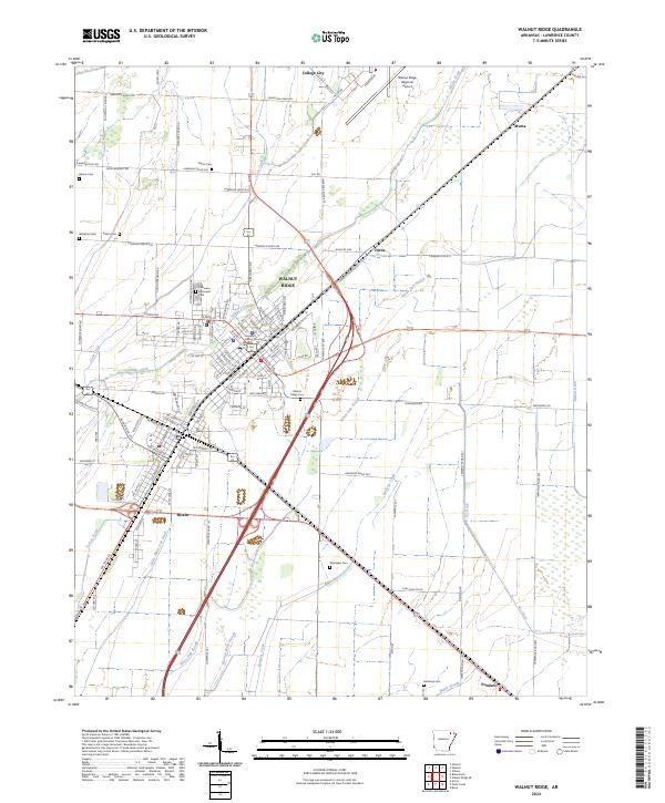
2024 Walnut Ridge
Lawrence County, AR