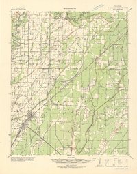
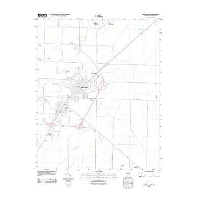
1932 Map of Walnut Ridge
USGS Topo · Published 1932About this map
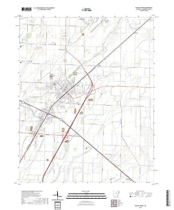
Walnut Ridge and the adjacent Hoxie Jct serve as the primary transit hubs in this early 1930s landscape, where the St Louis San Francisco RR and Missouri Pacific RR intersect. The surrounding lowlands are defined by a complex drainage network, featuring the winding Black River to the northwest and the Cache River to the southeast. The map reveals a high density of rural institutions, particularly one-room schools and country churches such as Skaggs Baptist Ch, Gum Stump Ch & Sch, and Mt Zion Ch.
Find a feature on this map
87 named features on this map. Tap any name to fly to it.
Don’t see what you’re looking for? This feature index may not catch every label — zoom into the map to look around manually.
Map Details
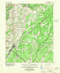
Editions of this 1932 Walnut Ridge Map
This is the sole edition of this map. No revisions or reprints were ever made.
Historical Maps of Pocahontas Through Time
9 maps found
1932 Walnut Ridge
Lawrence County, AR
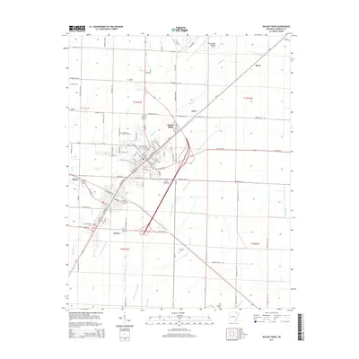
1935 Walnut Ridge
Lawrence County, AR
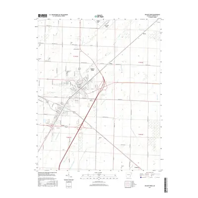
1965 Walnut Ridge
Lawrence County, AR
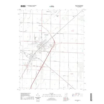
1968 Walnut Ridge
Lawrence County, AR
2011 Walnut Ridge
Lawrence County, AR
2014 Walnut Ridge
Lawrence County, AR
2017 Walnut Ridge
Lawrence County, AR
2020 Walnut Ridge
Lawrence County, AR
2024 Walnut Ridge
Lawrence County, AR