
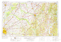
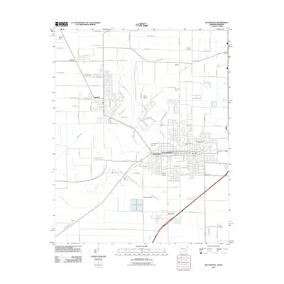
1939 Map of Blytheville
USGS Topo · Published 1944About this map
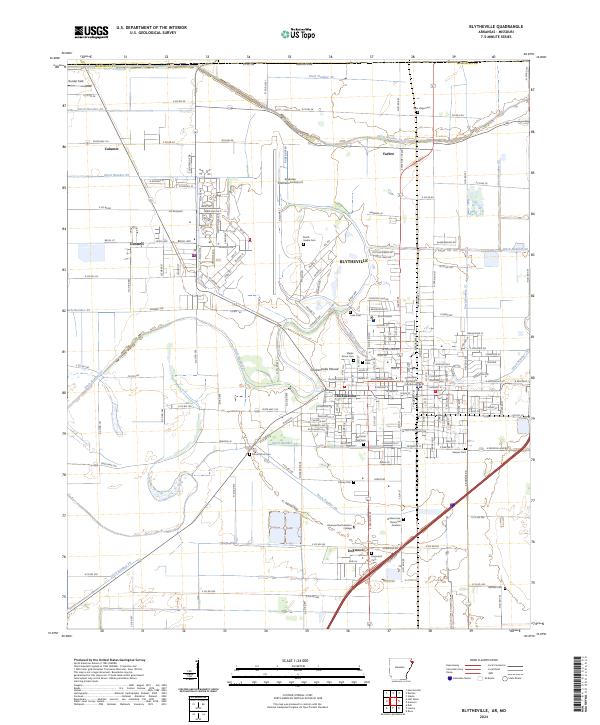
Blytheville serves as the industrial and transportation anchor for this Mississippi County landscape during the late 1930s. The region is defined by a dense network of drainage canals, such as Ditch No 25 and Ditch No 17, which reclaimed the fertile Delta lowlands for agriculture and settlement. The St Louis San Francisco RR and the Jonesboro Lake City and Eastern rail lines intersect here, facilitating the movement of goods to and from riverside points like Barfield and Ashport. Along the Mississippi River, the map captures complex river features including Barfield Bend and Island No 25, which shaped the border with Tennessee. Rural life is reflected in the numerous country schools and churches, including Cards Chapel & Cem and Union Grove Ch, while smaller communities like Burdette and Luxora highlight the established social geography of the era.
Find a feature on this map
78 named features on this map. Tap any name to fly to it.
Don’t see what you’re looking for? This feature index may not catch every label — zoom into the map to look around manually.
Map Details
Editions of this 1939 Blytheville Map
This is the sole edition of this map. No revisions or reprints were ever made.
Historical Maps of Blytheville Through Time
12 maps found
1939 Blytheville
Mississippi County, AR

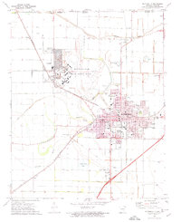
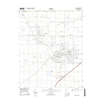
1955 Blytheville
Mississippi County, AR
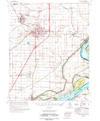
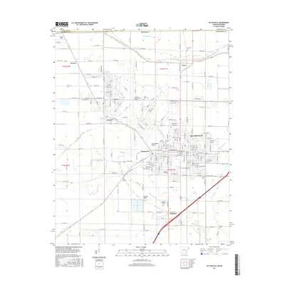
1956 Blytheville
Mississippi County, AR

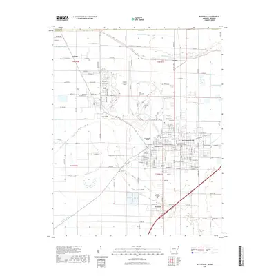
1959 Blytheville
Mississippi County, AR
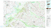
1972 Blytheville
Mississippi County, AR
1976 Blytheville
Mississippi County, AR
1986 Blytheville
Mississippi County, AR
2011 Blytheville
Mississippi County, AR
2014 Blytheville
Mississippi County, AR
2017 Blytheville
Mississippi County, AR
2020 Blytheville
Mississippi County, AR
2024 Blytheville
Mississippi County, AR