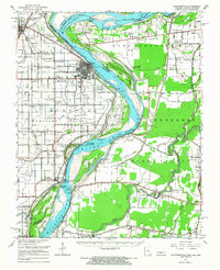
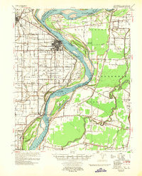
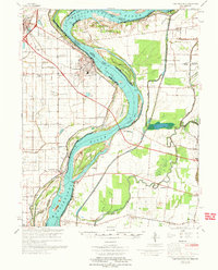
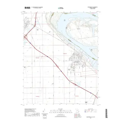
1951 Map of Caruthersville
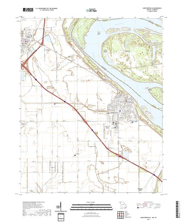
USGS Topo · Published 1968About this map
Caruthersville serves as the focal point of this tri-state borderland, where the Mississippi River snakes through the alluvial plains of Missouri, Tennessee, and Arkansas. The landscape is defined by the river’s dynamic movement, evidenced by the intricate system of Caruthersville Dikes and river landings like Heloise Ldg and Linwood Ldg. Further inland, the map captures a rural network of small communities and social centers such as Stubtown, Kinfolk Ridge, and Mengelwood. The presence of several Indian Mounds near Mounds Sch indicates a long history of human habitation on the high ground of the floodplain. Local history and genealogy are anchored by numerous country churches and schools, including the Needmore Cem & Ch and Hathaway Sch & Ch. Transportation in the early 1950s relied on the St Louis-San Francisco railroad and the Seawall protecting the riverfront settlements.
Find a feature on this map
103 named features on this map. Tap any name to fly to it.
Don’t see what you’re looking for? This feature index may not catch every label — zoom into the map to look around manually.
Map Details
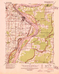
Editions of this 1951 Caruthersville Map
This is the sole edition of this map. No revisions or reprints were ever made.
Historical Maps of Caruthersville Through Time
10 maps found
1939 Caruthersville
Pemiscot County, MO
1951 Caruthersville
Pemiscot County, MO
1957 Caruthersville
Pemiscot County, MO
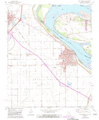
1971 Caruthersville
Pemiscot County, MO
1973 Caruthersville
Pemiscot County, MO
2010 Caruthersville
Pemiscot County, MO
2012 Caruthersville
Pemiscot County, MO
2015 Caruthersville
Pemiscot County, MO
2017 Caruthersville
Pemiscot County, MO
2021 Caruthersville
Pemiscot County, MO