
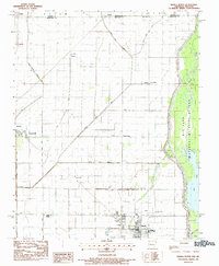
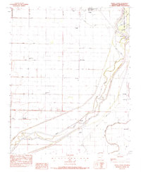
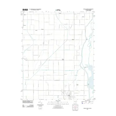
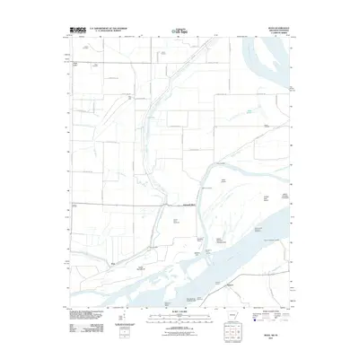
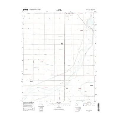
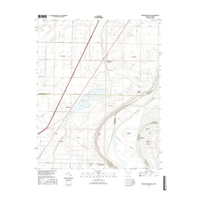
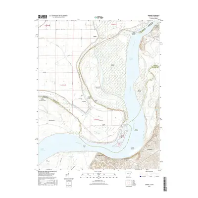
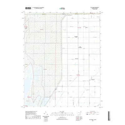
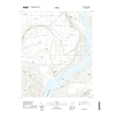
1939 Map of Hales Point
USGS Topo · Published 1943About this map
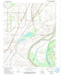
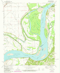
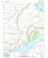
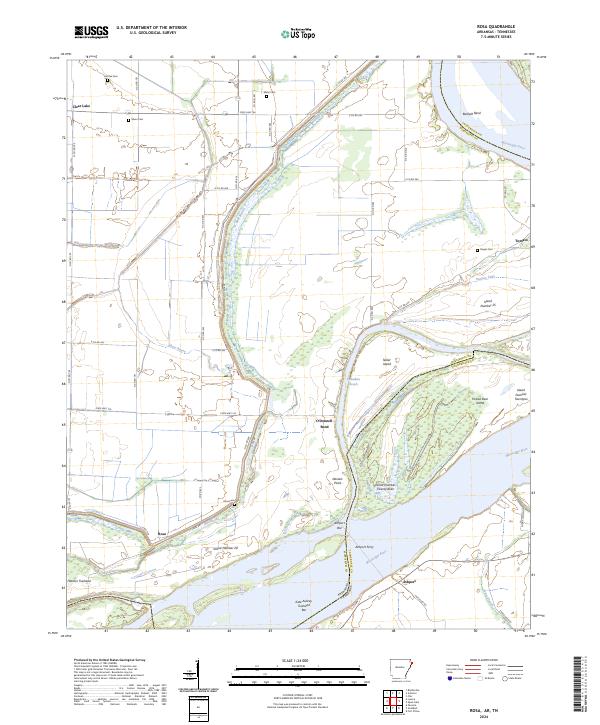
The Mississippi River creates a complex, shifting border between Arkansas and Tennessee, defining a landscape of active river engineering and ancient oxbows. This 1939 survey, updated under the Flood Control Act, documents a period when local life was tied closely to the water at landings like Barr Ldg and Tamm Ldg. The presence of the Needham Cut-Off (1821) illustrates early efforts to straighten the river, leaving behind isolated terrain like Moss Island and Island No 21.
Find a feature on this map
59 named features on this map. Tap any name to fly to it.
Don’t see what you’re looking for? This feature index may not catch every label — zoom into the map to look around manually.
Map Details
Editions of this 1939 Hales Point Map
This is the sole edition of this map. No revisions or reprints were ever made.
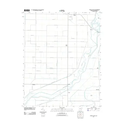
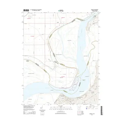
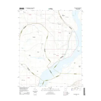
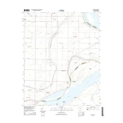
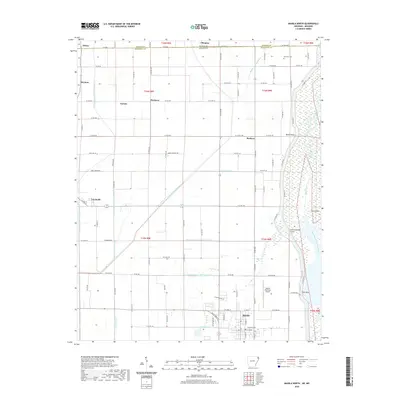
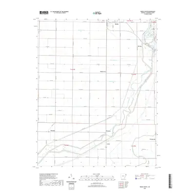
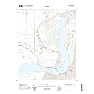
Historical Maps of Ripley Through Time
45 maps found

1939 Evadale
Mississippi County, AR
1939 Hales Point
Mississippi County, AR

1952 Hales Point
Mississippi County, AR

1956 Evadale
Mississippi County, AR
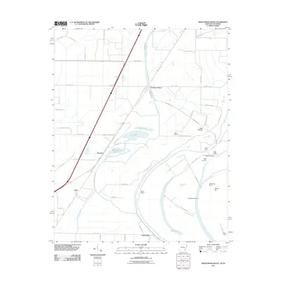
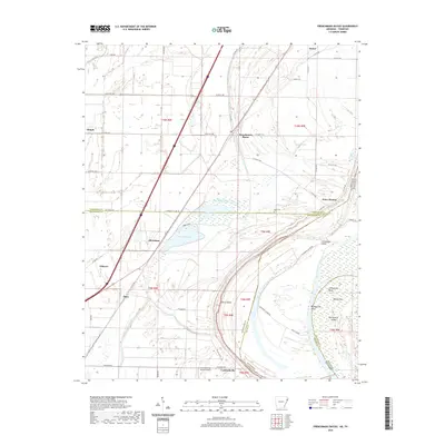
1970 Frenchmans Bayou
Mississippi County, AR
1972 Nodena
Mississippi County, AR
1972 Rosa
Mississippi County, AR
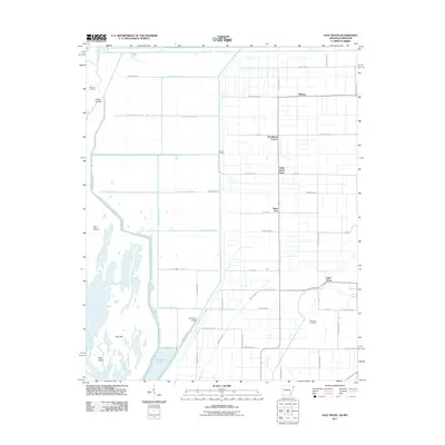
1983 Half Moon
Mississippi County, AR
1983 Manila North
Mississippi County, AR
1983 Manila South
Mississippi County, AR
2011 Frenchmans Bayou
Mississippi County, AR
2011 Half Moon
Mississippi County, AR
2011 Manila North
Mississippi County, AR
2011 Manila South
Mississippi County, AR
2011 Nodena
Mississippi County, AR
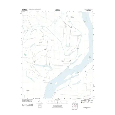
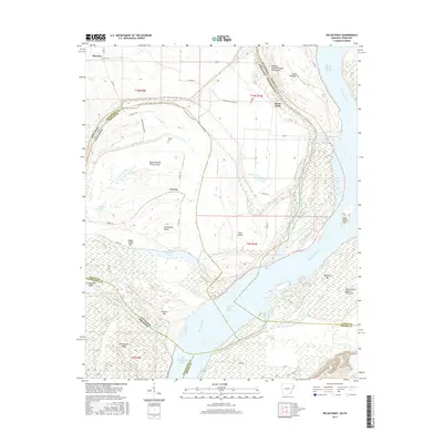
2011 Pecan Point
Mississippi County, AR
2011 Rosa
Mississippi County, AR
2014 Frenchmans Bayou
Mississippi County, AR
2014 Half Moon
Mississippi County, AR
2014 Manila North
Mississippi County, AR
2014 Manila South
Mississippi County, AR
2014 Nodena
Mississippi County, AR
2014 Pecan Point
Mississippi County, AR
2014 Rosa
Mississippi County, AR
2017 Frenchmans Bayou
Mississippi County, AR
2017 Half Moon
Mississippi County, AR
2017 Manila North
Mississippi County, AR
2017 Manila South
Mississippi County, AR
2017 Nodena
Mississippi County, AR
2017 Pecan Point
Mississippi County, AR
2017 Rosa
Mississippi County, AR
2020 Frenchmans Bayou
Mississippi County, AR
2020 Half Moon
Mississippi County, AR
2020 Manila North
Mississippi County, AR
2020 Manila South
Mississippi County, AR
2020 Nodena
Mississippi County, AR
2020 Pecan Point
Mississippi County, AR
2020 Rosa
Mississippi County, AR
2024 Frenchmans Bayou
Mississippi County, AR
2024 Half Moon
Mississippi County, AR
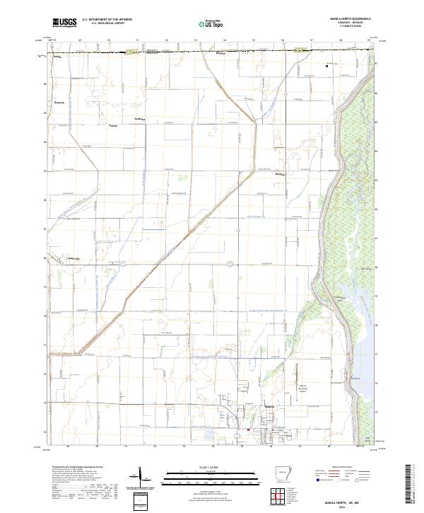
2024 Manila North
Mississippi County, AR
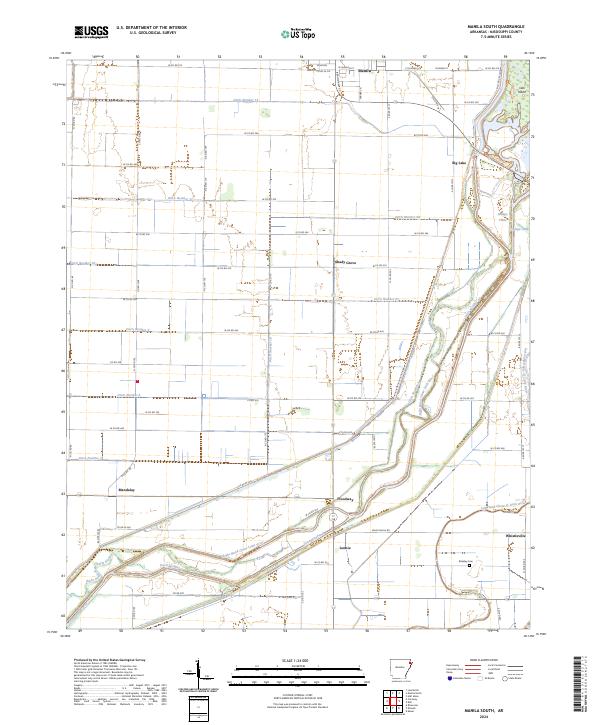
2024 Manila South
Mississippi County, AR
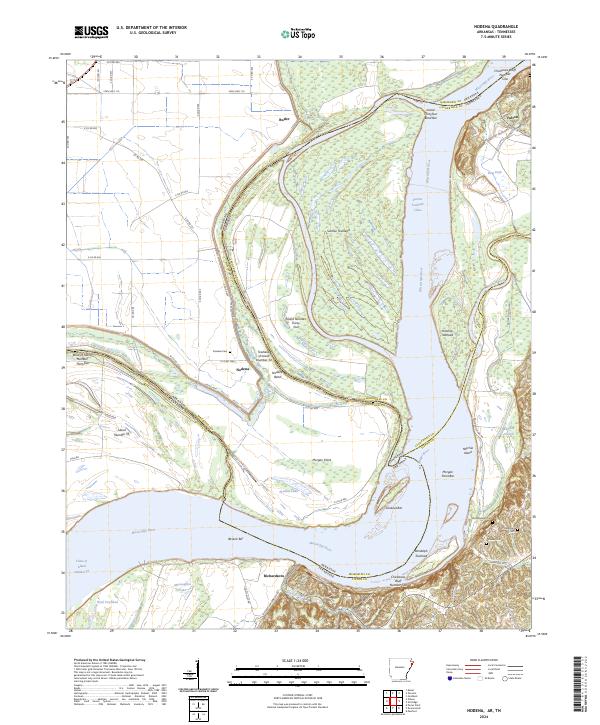
2024 Nodena
Mississippi County, AR
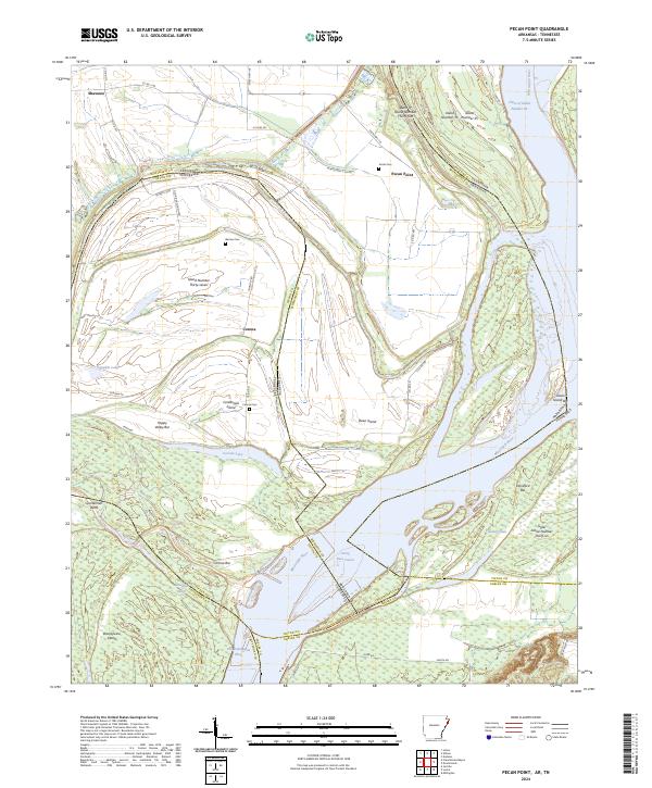
2024 Pecan Point
Mississippi County, AR
2024 Rosa
Mississippi County, AR