
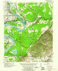
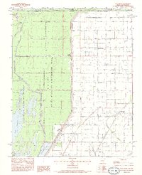
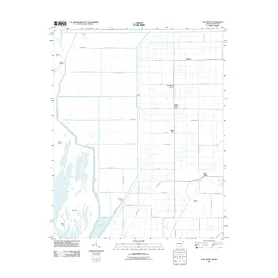
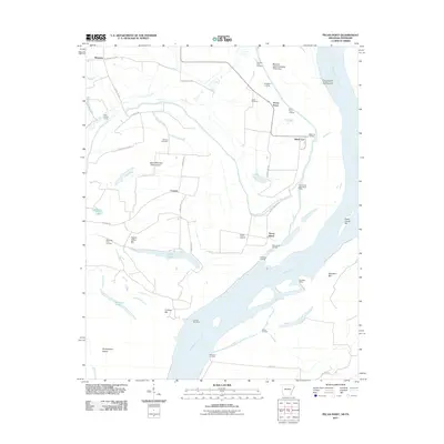
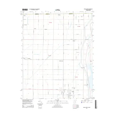
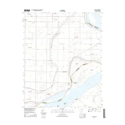
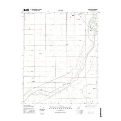
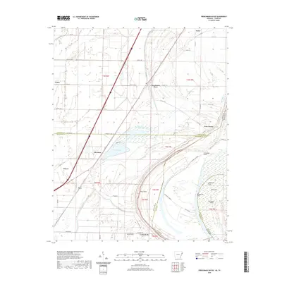
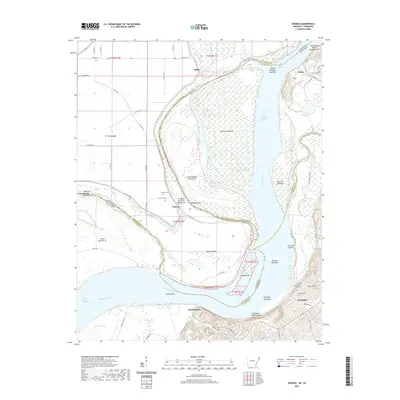
1952 Map of Hales Point
USGS Topo · Published 1952About this map
The Mississippi River creates a dynamic border between Tennessee and Arkansas in this 1952 study, featuring the notable Needham Cut-Off (1921) which reshaped the river's course near Hales Point. The landscape is a complex network of backwaters and island formations including Island No 21 and Island No 25, alongside oxbow remnants like Chisholm Lake and Open Lake. This survey captures a highly developed rural social fabric, evidenced by numerous combined community institutions such as the Henning Grove Church and School and Walnut Grove Church and Cem.
Find a feature on this map
69 named features on this map. Tap any name to fly to it.
Don’t see what you’re looking for? This feature index may not catch every label — zoom into the map to look around manually.
Map Details
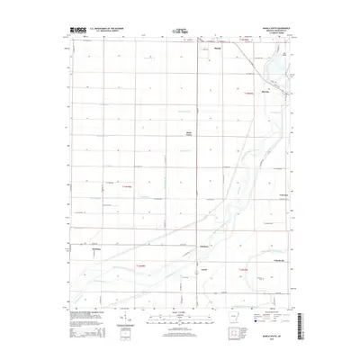
Editions of this 1952 Hales Point Map
4 editions found

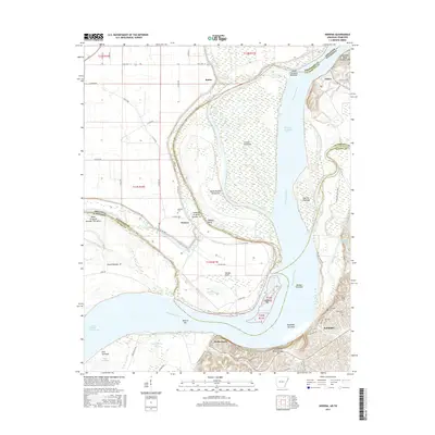
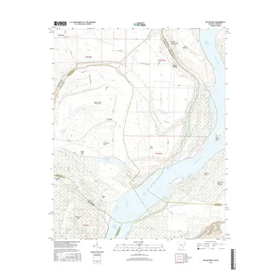
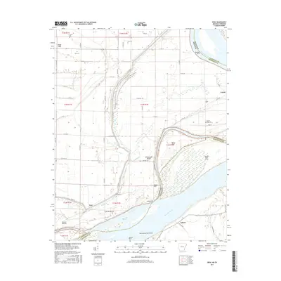
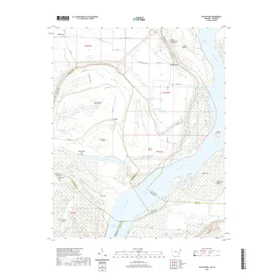
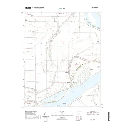
Historical Maps of Ripley Through Time
45 maps found

1939 Evadale
Mississippi County, AR

1939 Hales Point
Mississippi County, AR

1952 Hales Point
Mississippi County, AR

1956 Evadale
Mississippi County, AR
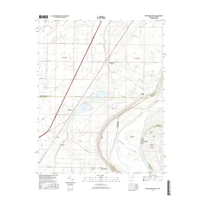
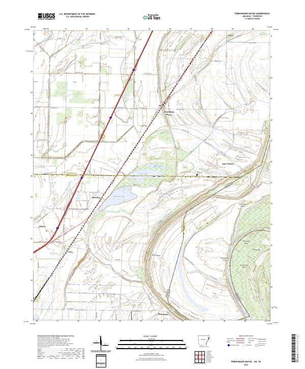
1970 Frenchmans Bayou
Mississippi County, AR
1972 Nodena
Mississippi County, AR
1972 Rosa
Mississippi County, AR
1983 Half Moon
Mississippi County, AR
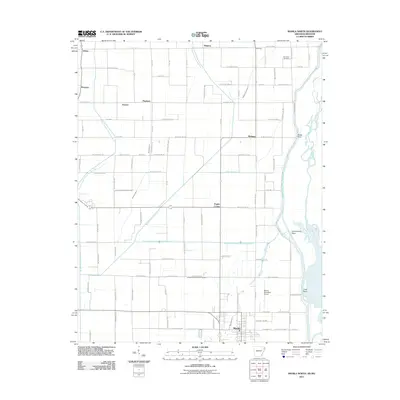
1983 Manila North
Mississippi County, AR
1983 Manila South
Mississippi County, AR
2011 Frenchmans Bayou
Mississippi County, AR
2011 Half Moon
Mississippi County, AR
2011 Manila North
Mississippi County, AR
2011 Manila South
Mississippi County, AR
2011 Nodena
Mississippi County, AR
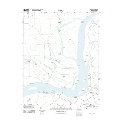
2011 Pecan Point
Mississippi County, AR
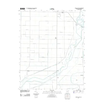
2011 Rosa
Mississippi County, AR
2014 Frenchmans Bayou
Mississippi County, AR
2014 Half Moon
Mississippi County, AR
2014 Manila North
Mississippi County, AR
2014 Manila South
Mississippi County, AR
2014 Nodena
Mississippi County, AR
2014 Pecan Point
Mississippi County, AR
2014 Rosa
Mississippi County, AR
2017 Frenchmans Bayou
Mississippi County, AR
2017 Half Moon
Mississippi County, AR
2017 Manila North
Mississippi County, AR
2017 Manila South
Mississippi County, AR
2017 Nodena
Mississippi County, AR
2017 Pecan Point
Mississippi County, AR
2017 Rosa
Mississippi County, AR
2020 Frenchmans Bayou
Mississippi County, AR
2020 Half Moon
Mississippi County, AR
2020 Manila North
Mississippi County, AR
2020 Manila South
Mississippi County, AR
2020 Nodena
Mississippi County, AR
2020 Pecan Point
Mississippi County, AR
2020 Rosa
Mississippi County, AR
2024 Frenchmans Bayou
Mississippi County, AR
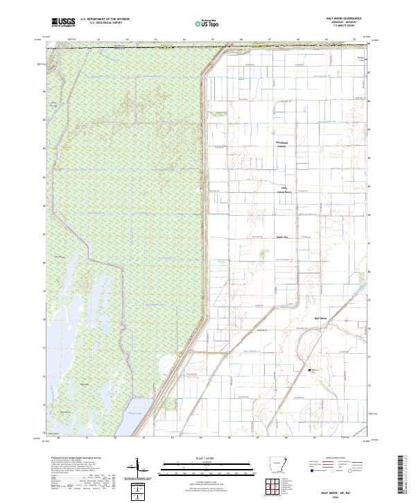
2024 Half Moon
Mississippi County, AR
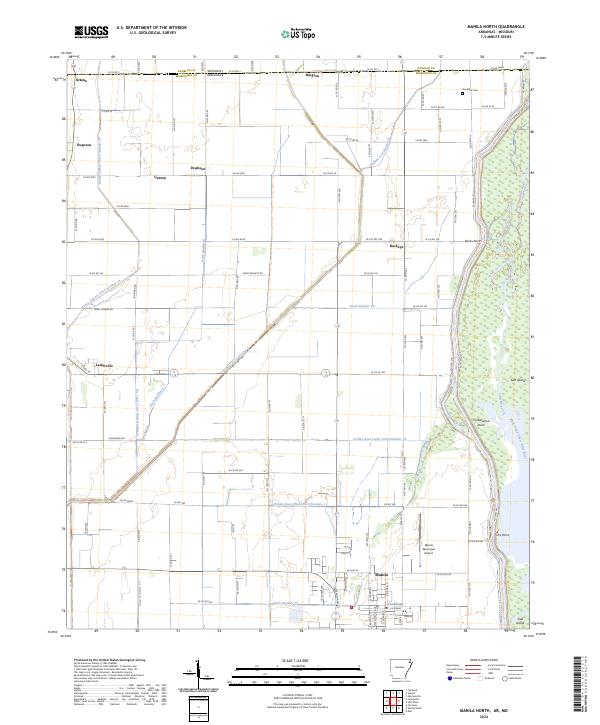
2024 Manila North
Mississippi County, AR
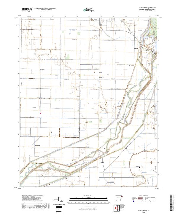
2024 Manila South
Mississippi County, AR
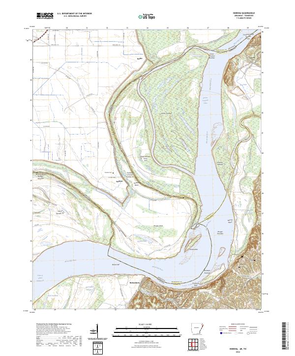
2024 Nodena
Mississippi County, AR
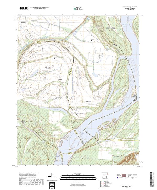
2024 Pecan Point
Mississippi County, AR
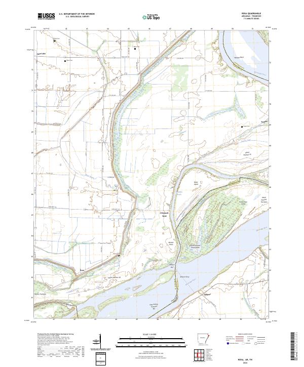
2024 Rosa
Mississippi County, AR