Old Maps of Mengelwood, Tennessee
Explore 12 old maps of Mengelwood, spanning from 1939 to today. These high-resolution historic maps reveal how streets, neighborhoods, landmarks, and natural features evolved over time — perfect for genealogy, metal detecting, research, and local history exploration.
What you can do with these maps:
- See how Mengelwood changed over time: Compare historical maps to modern-day views to trace roads, homesites, rail lines & more.
- View detailed metadata: Each map includes creators, publishers, year, scale, and archive source.
- Overlay maps with satellite & LiDAR: Visualize the past alongside modern tools to explore terrain & human change.
- Trusted historical sources: Maps sourced from the USGS, Library of Congress, and other archives.
- Access maps your way: View online, download high-res files, or order prints for personal or research use.
Start exploring old maps of Mengelwood to uncover forgotten places, hidden landmarks, and the deep history beneath your feet.
Mengelwood, TN maps
(12)- 1939 Map of Caruthersville, 1943 Print
 1939 Caruthersville1943 Print · USGSThe Missouri bootheel and Tennessee riverfront are documented here just before the Second World War, showing a landscape defined by the Mississippi's bends. Researchers can trace rural lineages through local landmarks like Mt Olive Ch & Sch, Mengelwood, and the many riverfront schools.2 unique versions available
 - 1951 Map of Caruthersville, 1968 Print
 1951 Caruthersville1968 Print · USGSThe Missouri Bootheel meets the Tennessee bottomlands in the early fifties, revealing a landscape of river landings and levee-protected towns. Genealogists can trace family roots through sites like Needmore Cem & Ch, Indian Mound, and the old rail stops of the St Louis Southwestern.
 - 1956 Map of Dyersburg, 1960 Print
 1956 Dyersburg1960 Print · USGSThe Four Rivers region comes alive in the mid-fifties, capturing the intricate borderlands of Tennessee, Kentucky, and Missouri. Genealogists and historians can trace the rail-and-river networks connecting Dyersburg, Caruthersville, and the shoreline of Reelfoot Lake.4 unique versions available
 - 1957 Map of Caruthersville
 1957 Caruthersville1957 Print · USGSThe Mississippi River floodplain comes alive in the mid-1950s, detailing a landscape of revetments, dikes, and river landings. Genealogists can trace family roots through numerous rural landmarks like Speers Cem & Ch, Kinfolk Ridge, and Needmore.
 - 1971 Map of Caruthersville SE, 1972 Print
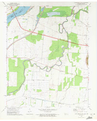 1971 Caruthersville SE1972 Print · USGSThe Mississippi River bottomlands of Dyer County come to life in this early 1970s survey of the Tennessee-Missouri border. Researchers can trace the rural landscape through family-centric hubs like Boothspoint, Mengelwood, and the Emmanuel Ch cemetery and church site.2 unique versions available
 - 1973 Map of Caruthersville
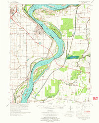 1973 Caruthersville1973 Print · USGSThe Missouri Bootheel meets the Tennessee state line in the early 1970s, where the Mississippi River winds past Caruthersville. Local historians can trace family roots through numerous sites like Little Prairie Cem, Marvin Chapel, and the community at Hayti.
 - 1983 Map of Dyersburg
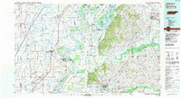 1983 Dyersburg1983 Print · USGSSpanning the Mississippi River at the start of the 1980s, this area shows the vital river-and-rail connections between Tennessee and Missouri. Researchers can trace family sites at Mount Pisgah Cemetery or study the evolving shoreline near Caruthersville and Reelfoot Lake.
 - 2010 Map of Caruthersville SE, 2010 Print
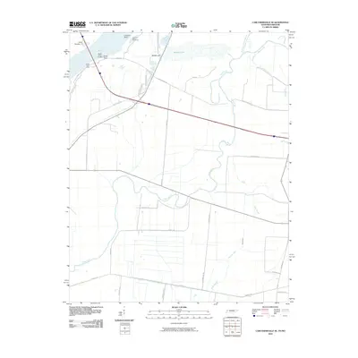 2010 Caruthersville SE2010 Print · USGSThe Tennessee-Missouri borderlands along the Mississippi River are shown here in the early twenty-first century, defined by dynamic waterways and river engineering. Genealogists and local historians can trace family-named routes and river features like Booth Point Landing, Island Number 17, and Yarbro Rd.
 - 2013 Map of Caruthersville SE, 2013 Print
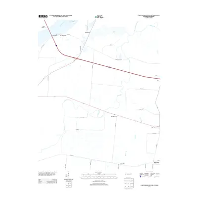 2013 Caruthersville SE2013 Print · USGSThe Mississippi River bottomlands in Dyer County come to life in this early twenty-first-century survey. Genealogists and local historians can trace the roads and waterways connecting riverfront settlements like Boothpoint to inland communities such as Mengelwood and Tylersville.
 - 2016 Map of Caruthersville SE, 2016 Print
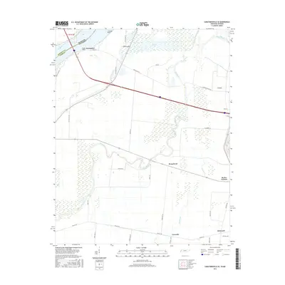 2016 Caruthersville SE2016 Print · USGSDyer County at the edge of the Mississippi River is captured here in the mid-2010s, showing a landscape defined by its waterways and rural crossroads. Researchers can trace family-named routes and old bottomland settlements like Tylersville, Mengelwood, and Big Boy Junction.
 - 2019 Map of Caruthersville SE, 2019 Print
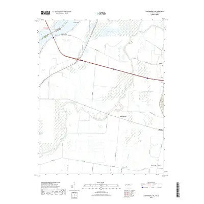 2019 Caruthersville SE2019 Print · USGSDyer County and the Mississippi River border come into focus in this late twenty-first-century survey of the Tennessee bottomlands. Researchers can trace the layout of rural communities like Mengelwood and Tylersville or follow the winding Obion River.
 - 2022 Map of Caruthersville SE, 2022 Print
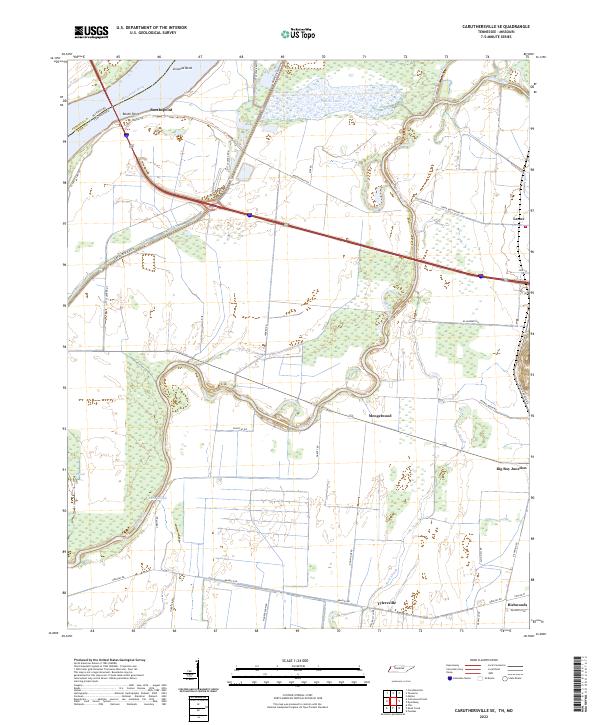 2022 Caruthersville SE2022 Print · USGSDyer County at the Missouri border is a landscape shaped by the Mississippi River and the winding Obion River in the early 2020s. Genealogists and researchers can trace local family landmarks and rural hubs such as Mengelwood, Tylersville, and Big Boy Junction.
End of results
Showing maps 1-12 of 12
Top cities near Mengelwood
- Dyersburg historical maps
- Caruthersville historical maps
- Hayti historical maps
- Halls historical maps
- Ridgely historical maps
- Gates historical maps
See more
Frequently asked questions
- What are the different types of historical maps available for Mengelwood?
- What is the oldest map of Mengelwood?
- Where can I purchase historical maps of Mengelwood for my home or office?
- Where can I download high-res historical maps of Mengelwood?
- Are there historical topographic maps available for Mengelwood?
- Is there historical aerial imagery available for Mengelwood?
- Where are historical maps of Mengelwood sourced from?