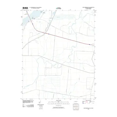
2010 Map of Caruthersville SE
USGS Topo · Published 2010About this map
The Mississippi River carves a sharp path through this riverine landscape, where the shifting waters have created a complex network of backwaters and sloughs along the Tennessee-Missouri border. Engineering efforts to manage the river's power are evident through the Linwood Bend Revetment and the Booth Point Dikes, structures designed to stabilize the banks and maintain navigation channels. The terrain is defined by its relationship with water, featuring significant landmarks like Island Number 17 and Booth Point Landing, which speak to the historic river traffic and commerce of the region.
Find a feature on this map
32 named features on this map. Tap any name to fly to it.
Don’t see what you’re looking for? This feature index may not catch every label — zoom into the map to look around manually.
Map Details
Editions of this 2010 Caruthersville SE Map
This is the sole edition of this map. No revisions or reprints were ever made.
Other maps of this area

1939 · Dyersburg
USGS Topo · 1:62,500

1939 · Hales Point
USGS Topo · 1:62,500

1939 · Caruthersville
USGS Topo · 1:62,500

1939 · Halls
USGS Topo · 1:62,500

1951 · Caruthersville
USGS Topo · 1:62,500

1952 · Hales Point
USGS Topo · 1:62,500

1952 · Dyersburg
USGS Topo · 1:24,000

1952 · Miston
USGS Topo · 1:24,000

1952 · Fowlkes
USGS Topo · 1:24,000

1956 · Dyersburg
USGS Topo · 1:250,000