
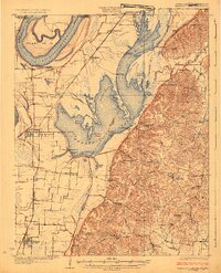
1925 Map of Reelfoot Lake
USGS Topo · Published 1925About this map
Reelfoot Lake dominates this 1920s landscape, illustrating a complex environment of cypress swamps, open basins, and submerged lands in the wake of the New Madrid earthquakes. The map reveals a transition from the agricultural plains surrounding Tiptonville and Ridgely to the marshy labyrinth of Grassy Bend and Upper Blue Basin. This era predates significant modern water control, showing the Blue Bank Levee and the Washout as critical infrastructure against the seasonal shifts of the nearby Mississippi River.
Find a feature on this map
102 named features on this map. Tap any name to fly to it.
Don’t see what you’re looking for? This feature index may not catch every label — zoom into the map to look around manually.
Map Details
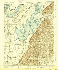
Editions of this 1925 Reelfoot Lake Map
3 editions found
Other maps of this area

1939 · Reelfoot Lake
USGS Topo · 1:62,500

1939 · Portageville
USGS Topo · 1:62,500

1939 · Hickman
USGS Topo · 1:62,500

1939 · New Madrid
USGS Topo · 1:62,500

1939 · Bayouville
USGS Topo · 1:62,500

1939 · Dyersburg
USGS Topo · 1:62,500

1939 · Caruthersville
USGS Topo · 1:62,500

1950 · Obion
USGS Topo · 1:24,000

1951 · Obion
USGS Topo · 1:24,000

1951 · Bondurant
USGS Topo · 1:24,000