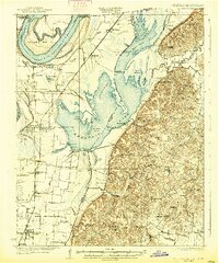
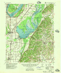
1925 Map of Reelfoot Lake
USGS Topo · Published 1937About this map
The Reelfoot Lake basin dominates this Northwest Tennessee landscape, illustrating a complex network of cypress-filled waters and swampy terrain just east of the Mississippi River. Significant geological and hydrologic features such as Island No 10, the Glory Hole, and the Blue Bank Levee reveal the area's volatile relationship with the river. Settlement patterns are concentrated along the high ground and the Illinois Central railroad, with Tiptonville and Ridgely serving as primary hubs. The map highlights the region's early 20th-century character as a sportsman's destination through the presence of the Hickman Hunting Club and Hickman Gun Club. Numerous rural institutions, including Possum Trot Church and Rodgers School, are scattered across the eastern bluffs, documenting the social fabric of Obion and Lake counties during the 1920s.
Find a feature on this map
93 named features on this map. Tap any name to fly to it.
Don’t see what you’re looking for? This feature index may not catch every label — zoom into the map to look around manually.
Map Details
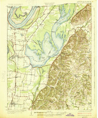
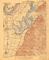
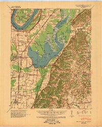
Editions of this 1925 Reelfoot Lake Map
3 editions found
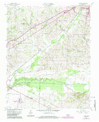
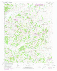
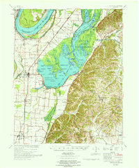
Historical Maps of Tiptonville Through Time
16 maps found
1925 Reelfoot Lake
Obion County, TN
1939 Reelfoot Lake
Obion County, TN
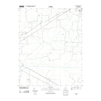
1956 Harris
Obion County, TN
1956 Reelfoot Lake
Obion County, TN
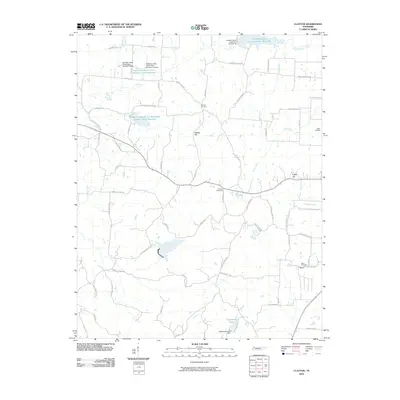
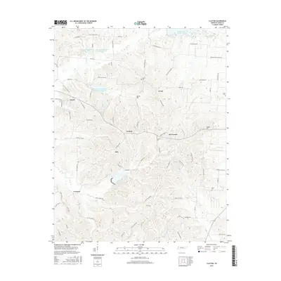
1966 Clayton
Obion County, TN
1967 Reelfoot Lake
Obion County, TN
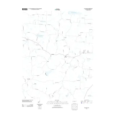
2010 Clayton
Obion County, TN
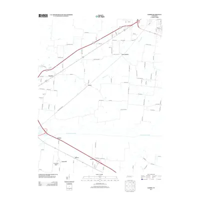
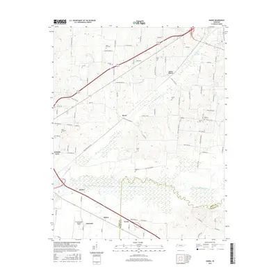
2010 Harris
Obion County, TN
2013 Clayton
Obion County, TN
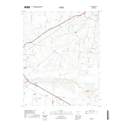
2013 Harris
Obion County, TN
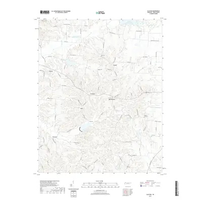
2016 Clayton
Obion County, TN
2016 Harris
Obion County, TN
2019 Clayton
Obion County, TN
2019 Harris
Obion County, TN
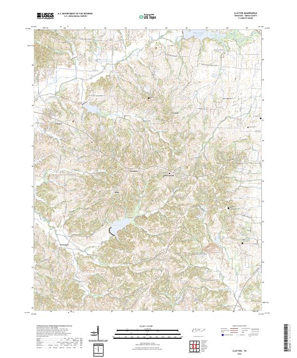
2022 Clayton
Obion County, TN
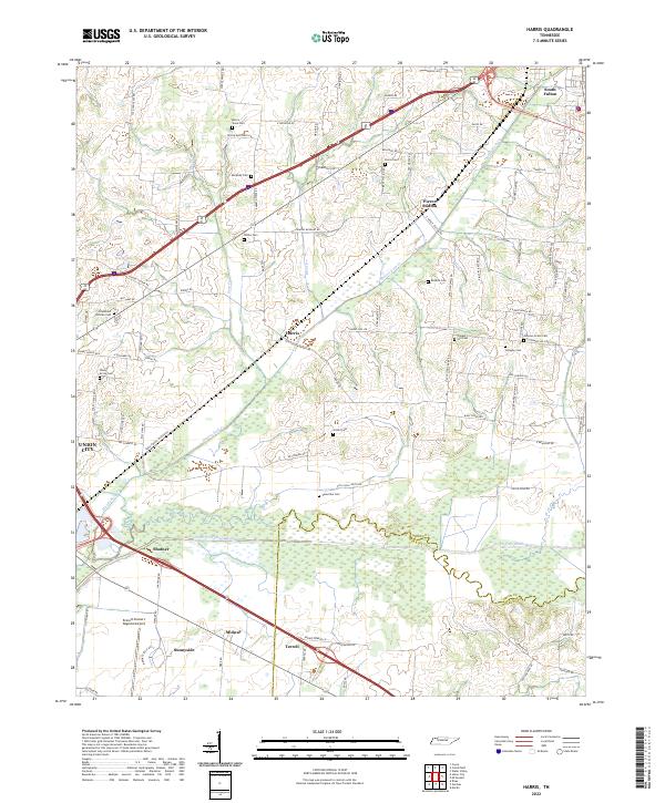
2022 Harris
Obion County, TN