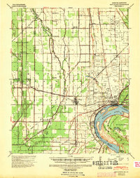
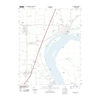
1939 Map of New Madrid
USGS Topo · Published 1941About this map
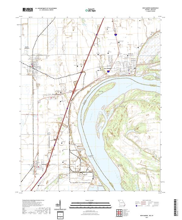
Sikeston Ridge dominates the northern half of this landscape, a prominent geological feature in a region defined by its relationship with the Mississippi River. The town of New Madrid sits at the northern apex of the famous New Madrid Bend, where the river makes a sharp horseshoe turn around Kentucky Point Bar and Watson Point. This area showcases the complex drainage engineering of the late 1930s, with a dense network of numbered canals like Main Ditch and Otter Slough Ditch cutting across the lowlands to manage the Little River watershed.
Find a feature on this map
71 named features on this map. Tap any name to fly to it.
Don’t see what you’re looking for? This feature index may not catch every label — zoom into the map to look around manually.
Map Details
Editions of this 1939 New Madrid Map
This is the sole edition of this map. No revisions or reprints were ever made.
Historical Maps of New Madrid Through Time
9 maps found
1939 New Madrid
New Madrid County, MO
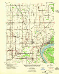
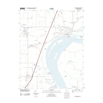
1954 New Madrid
New Madrid County, MO
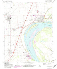
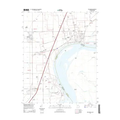
1971 New Madrid
New Madrid County, MO
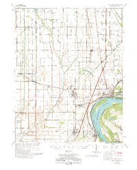
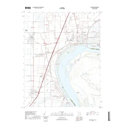
1973 New Madrid
New Madrid County, MO
2010 New Madrid
New Madrid County, MO
2012 New Madrid
New Madrid County, MO
2015 New Madrid
New Madrid County, MO
2017 New Madrid
New Madrid County, MO
2021 New Madrid
New Madrid County, MO