
1934 Map of Bloomfield
USGS Topo · Published 1934About this map
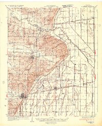
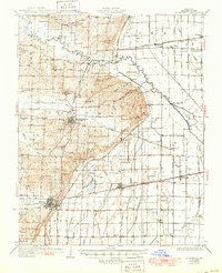
Bloomfield serves as the regional hub in this 1930s landscape, where the rugged topography of the Crowley's Ridge formation transitions into the reclaimed lowlands of the Mississippi Embayment. The mapping reflects a period of intensive drainage engineering, evidenced by a dense network of numbered channels like Ditch No 60 and Ditch No 24 that cross the eastern plains. These efforts transformed the area near Clines Island and Grayridge into productive farmland served by three major rail lines, including the St Louis Southwestern Ry and the Missouri Pacific RR.
Find a feature on this map
83 named features on this map. Tap any name to fly to it.
Don’t see what you’re looking for? This feature index may not catch every label — zoom into the map to look around manually.
Map Details
Editions of this 1934 Bloomfield Map
3 editions found
Other maps of this area

1931 · Sikeston
USGS Topo · 1:62,500

1934 · Morley
USGS Topo · 1:62,500

1934 · Sikeston
USGS Topo · 1:62,500

1934 · Advance
USGS Topo · 1:62,500

1934 · Puxico
USGS Topo · 1:62,500

1935 · Zalma
USGS Topo · 1:62,500

1939 · Bloomfield
USGS Topo · 1:62,500

1939 · Sikeston
USGS Topo · 1:62,500

1939 · New Madrid
USGS Topo · 1:62,500

1939 · Morley
USGS Topo · 1:62,500