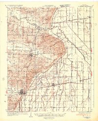
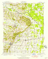
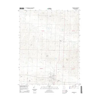
1934 Map of Bloomfield
USGS Topo · Published 1934About this map
The Bloomfield quadrangle captures a Missouri landscape in the 1930s defined by the transition from the rolling terrain of the Ozark foothills to the engineered drainage of the Mississippi Embayment. The St Louis Southwestern Railway and San Francisco Railway intersect near the prominent settlement of Dexter, highlighting the area's role as a regional transport hub for timber and agricultural goods. To the east, the intensive network of numbered drainage canals, such as Ditch No 30 and Ditch No 24, illustrates the massive effort to reclaim Panther Swamp and the lowlands surrounding the Castor River for farming.
Find a feature on this map
100 named features on this map. Tap any name to fly to it.
Don’t see what you’re looking for? This feature index may not catch every label — zoom into the map to look around manually.
Map Details
Editions of this 1934 Bloomfield Map
3 editions found
Historical Maps of Dexter Through Time
9 maps found
1934 Bloomfield
Stoddard County, MO
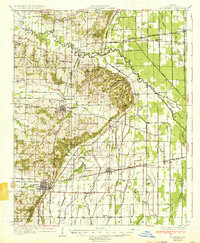
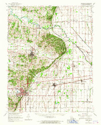
1939 Bloomfield
Stoddard County, MO
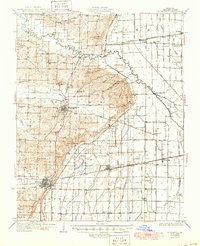
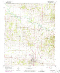
1949 Bloomfield
Stoddard County, MO
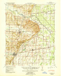
1963 Bloomfield
Stoddard County, MO
1963 Bloomfield
Stoddard County, MO
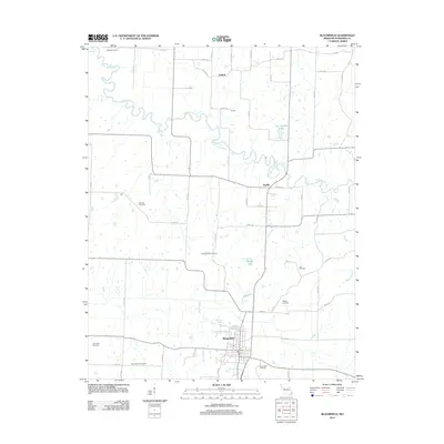
2012 Bloomfield
Stoddard County, MO
2015 Bloomfield
Stoddard County, MO
2017 Bloomfield
Stoddard County, MO
2021 Bloomfield
Stoddard County, MO