
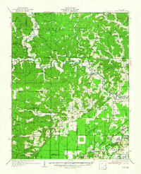
1935 Map of Zalma
USGS Topo · Published 1935About this map
The Castor River meanders through this portion of Missouri, anchoring a landscape defined by the transition from the rolling terrain of Wayne and Bollinger counties into the engineered lowlands of Stoddard County. The rail-and-river economy of the mid-1930s is visible in the alignment of the St Louis San Francisco railroad, which services small outposts like Zalma, Greenbrier, and Sturdivant. To the south, the natural drainage of Duck Creek gives way to a sophisticated network of man-made waterways including Ditch No 101 and Ditch No 5, part of early 20th-century efforts to reclaim swampy bottomlands for agriculture.
Find a feature on this map
83 named features on this map. Tap any name to fly to it.
Don’t see what you’re looking for? This feature index may not catch every label — zoom into the map to look around manually.
Map Details
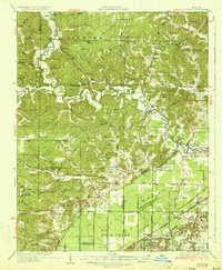
Editions of this 1935 Zalma Map
3 editions found
Other maps of this area

1930 · Coldwater
USGS Topo · 1:62,500

1933 · Marble Hill
USGS Topo · 1:62,500

1933 · Marquand
USGS Topo · 1:62,500

1934 · Greenville
USGS Topo · 1:62,500

1934 · Bloomfield
USGS Topo · 1:62,500

1934 · Advance
USGS Topo · 1:62,500

1934 · Puxico
USGS Topo · 1:62,500

1935 · Poplar Bluff
USGS Topo · 1:62,500

1937 · Marble Hill
USGS Topo · 1:62,500

1938 · Marquand
USGS Topo · 1:62,500