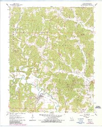
1963 Map of Zalma
USGS Topo · Published 1985About this map
The Castor River meanders through this portion of Bollinger County, anchoring the small settlement of Zalma. The landscape is defined by the steep timberland of the Club Creek State Forest and the Castor River State Forest, where the topography is dissected by numerous named drainages such as Clubb Creek, Hawker Creek, and Virgin Creek. Local transit and transport history is visible in the Old Railroad Grade passing through Zalma and heading southeast toward the Dark Cypress Swamp.
Find a feature on this map
42 named features on this map. Tap any name to fly to it.
Don’t see what you’re looking for? This feature index may not catch every label — zoom into the map to look around manually.
Map Details
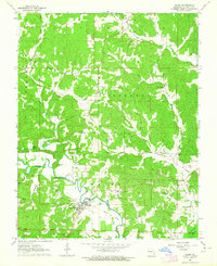
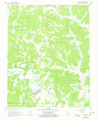
Editions of this 1963 Zalma Map
3 editions found
Other maps of this area

1933 · Marble Hill
USGS Topo · 1:62,500

1933 · Marquand
USGS Topo · 1:62,500

1934 · Advance
USGS Topo · 1:62,500

1935 · Zalma
USGS Topo · 1:62,500

1937 · Marble Hill
USGS Topo · 1:62,500

1938 · Marquand
USGS Topo · 1:62,500

1939 · Advance
USGS Topo · 1:62,500

1939 · Zalma
USGS Topo · 1:62,500

1949 · Paducah
USGS Topo · 1:250,000

1949 · Rolla
USGS Topo · 1:250,000