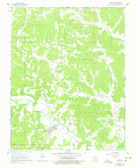
1963 Map of Zalma
USGS Topo · Published 1978About this map
The Castor River defines the southern topography of this area, where the settlement of Zalma sits at a bend in the water. The landscape is marked by the Old Railroad Grade running parallel to the river, a remnant of former transportation infrastructure that once connected these rural Missouri communities. To the north and east, the terrain is characterized by a high density of small family cemeteries and country churches, including Patterson Cem, Eakers Cem, and Antioch Ch, reflecting the deep-rooted genealogical heritage of Bollinger and Wayne counties.
Find a feature on this map
35 named features on this map. Tap any name to fly to it.
Don’t see what you’re looking for? This feature index may not catch every label — zoom into the map to look around manually.
Map Details
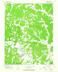
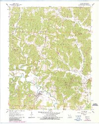
Editions of this 1963 Zalma Map
3 editions found
Other maps of this area

1933 · Marble Hill
USGS Topo · 1:62,500

1933 · Marquand
USGS Topo · 1:62,500

1934 · Advance
USGS Topo · 1:62,500

1935 · Zalma
USGS Topo · 1:62,500

1937 · Marble Hill
USGS Topo · 1:62,500

1938 · Marquand
USGS Topo · 1:62,500

1939 · Advance
USGS Topo · 1:62,500

1939 · Zalma
USGS Topo · 1:62,500

1949 · Paducah
USGS Topo · 1:250,000

1949 · Rolla
USGS Topo · 1:250,000