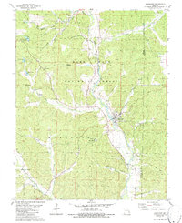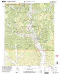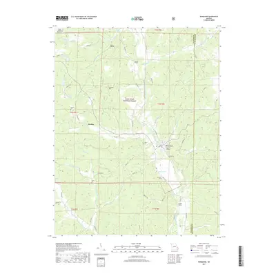
1938 Map of Marquand
USGS Topo · Published 1938About this map
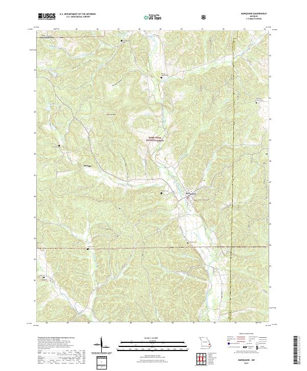
The Castor River serves as the primary drainage and developmental axis for this 1930s landscape, winding through the borderlands of Madison and Bollinger counties. The town of Marquand stands at a significant junction where the Missouri Pacific railroad meets the river, surrounded by a high density of rural schoolhouses and country churches that define the social geography of the era. To the north, extractive industry is evidenced by the Starke Mine and Goza Mine, while the terrain to the west rises toward Cottoner Mtn. The map reveals a deeply settled rural fabric, with numerous small communities like Bessville, Glenallen, and Klondike connected by a network of creeks such as Crooked Creek and Big Creek. Genealogists will find a wealth of local landmarks, from the Mouser Cem and Younts Cem to distinctive neighborhood schools like New Trace Creek Sch and Peal Sch.
Find a feature on this map
78 named features on this map. Tap any name to fly to it.
Don’t see what you’re looking for? This feature index may not catch every label — zoom into the map to look around manually.
Map Details
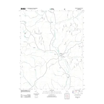
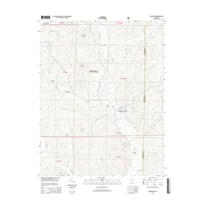
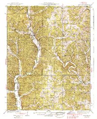
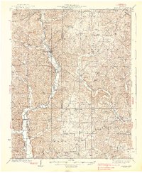
Editions of this 1938 Marquand Map
2 editions found
Historical Maps of Marble Hill Through Time
8 maps found