
1933 Map of Marble Hill
USGS Topo · Published 1964About this map
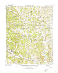
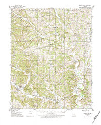
Marble Hill and the adjacent town of Lutesville serve as the primary hubs in this 1933 survey of the Missouri Ozark foothills. The landscape is defined by the winding course of the Whitewater River and its numerous tributaries, including the colorfully named Drunken Creek. This era shows a high density of rural community infrastructure, with dozens of family-named schools such as Whiskey Sch and Hamstring Sch distributed across the hilly townships. The Missouri Pacific railroad cuts through the southern portion of the quadrangle, facilitating the movement of goods between Lutesville and Laflin. Settlement patterns follow the creek valleys and ridge tops, connecting small hamlets like Scopus and Millersville through a network of early roads. Genealogists will find significant value in the mapped cemeteries and rural churches, including the Old Salem Ch and Pulliam Cem, which reflect the deep-rooted family histories of Bollinger and Cape Girardeau counties during the interwar period.
Find a feature on this map
76 named features on this map. Tap any name to fly to it.
Don’t see what you’re looking for? This feature index may not catch every label — zoom into the map to look around manually.
Map Details
Editions of this 1933 Marble Hill Map
3 editions found
Other maps of this area

1910 · Higdon
USGS Topo · 1:62,500

1918 · Altenburg
USGS Topo · 1:62,500

1922 · Cape Girardeau
USGS Topo · 1:62,500

1923 · Perryville
USGS Topo · 1:62,500

1924 · Cape Girardeau
USGS Topo · 1:62,500

1924 · Perryville
USGS Topo · 1:62,500

1925 · Altenburg
USGS Topo · 1:62,500

1933 · Marquand
USGS Topo · 1:62,500

1934 · Morley
USGS Topo · 1:62,500

1934 · Advance
USGS Topo · 1:62,500