
1925 Map of Altenburg
USGS Topo · Published 1925About this map
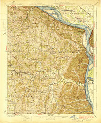
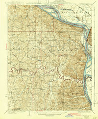
Altenburg and the surrounding Saxon Lutheran settlements of eastern Perry County define this landscape along the western bluffs of the Mississippi River in the early 1920s. The map captures a deeply established agricultural and religious community, centered on towns like Frohna and Brazeau, where numerous country schools such as Eureka School and Trickey School served scattered farmsteads. The riverfront is remarkably active, showing several critical landings including Leimbach Landing and Hines Landing, alongside the industrial presence of Silica Mines near the river bank. Notable geologic and navigation landmarks like the Devils Bake Oven and Tower Rock stand near Grand Tower, while the St. Louis San Francisco RR skirts the shoreline. Inland, the complex drainage of Apple Creek and Brazeau Creek dictates the placement of early road networks like the Apple Creek Road, connecting long-standing settlements like Pocahontas and Old Appleton.
Find a feature on this map
83 named features on this map. Tap any name to fly to it.
Don’t see what you’re looking for? This feature index may not catch every label — zoom into the map to look around manually.
Map Details
Editions of this 1925 Altenburg Map
3 editions found
Other maps of this area

1910 · Murphysboro
USGS Topo · 1:62,500

1915 · Chester
USGS Topo · 1:62,500

1916 · Campbell Hill
USGS Topo · 1:62,500

1918 · Altenburg
USGS Topo · 1:62,500

1918 · Campbell Hill
USGS Topo · 1:62,500

1920 · Jonesboro
USGS Topo · 1:62,500

1922 · Cape Girardeau
USGS Topo · 1:62,500

1923 · Jonesboro
USGS Topo · 1:62,500

1923 · Perryville
USGS Topo · 1:62,500

1924 · Cape Girardeau
USGS Topo · 1:62,500