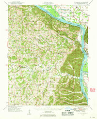
1949 Map of Altenburg
USGS Topo · Published 1969About this map
Altenburg and its neighboring German-heritage settlements in Perry and Cape Girardeau Counties define this mid-century landscape along the western bluffs of the Mississippi River. The map illustrates a densely settled rural network of family-centered landmarks, from the Uniontown Sch to several small crossroads like Frohna and Brazeau. The riverfront remains the primary industrial corridor, featuring the St Louis San Francisco RR hugging the Missouri shoreline and the Illinois Central RR traversing the Illinois side past Fountain Bluff.
Find a feature on this map
96 named features on this map. Tap any name to fly to it.
Don’t see what you’re looking for? This feature index may not catch every label — zoom into the map to look around manually.
Map Details
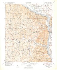
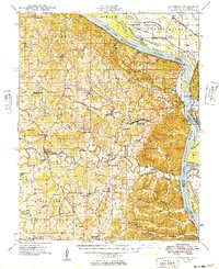
Editions of this 1949 Altenburg Map
3 editions found
Other maps of this area

1910 · Murphysboro
USGS Topo · 1:62,500

1915 · Chester
USGS Topo · 1:62,500

1916 · Campbell Hill
USGS Topo · 1:62,500

1918 · Altenburg
USGS Topo · 1:62,500

1918 · Campbell Hill
USGS Topo · 1:62,500

1920 · Jonesboro
USGS Topo · 1:62,500

1922 · Cape Girardeau
USGS Topo · 1:62,500

1923 · Jonesboro
USGS Topo · 1:62,500

1923 · Perryville
USGS Topo · 1:62,500

1924 · Cape Girardeau
USGS Topo · 1:62,500