
1915 Map of Chester
USGS Topo · Published 1915About this map
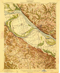
Kaskaskia and the shifting channels of the Mississippi River dominate this early twentieth-century survey. The landscape is defined by the complex relationship between the Kaskaskia River and the Mississippi, creating large landmasses like Kaskaskia Island and Moro Island. The town of Chester sits prominently on the Illinois bluffs, while across the water, Missouri settlements like Lithium and Belgique reflect the river-bottom farming culture.
Find a feature on this map
79 named features on this map. Tap any name to fly to it.
Don’t see what you’re looking for? This feature index may not catch every label — zoom into the map to look around manually.
Map Details
Editions of this 1915 Chester Map
5 editions found
Other maps of this area

1907 · Weingarten
USGS Topo · 1:62,500

1909 · Weingarten
USGS Topo · 1:62,500

1910 · Higdon
USGS Topo · 1:62,500

1912 · Baldwin
USGS Topo · 1:62,500

1914 · Baldwin
USGS Topo · 1:62,500

1914 · Coulterville
USGS Topo · 1:62,500

1915 · Renault
USGS Topo · 1:62,500

1916 · Campbell Hill
USGS Topo · 1:62,500

1917 · Coulterville
USGS Topo · 1:62,500

1918 · Altenburg
USGS Topo · 1:62,500