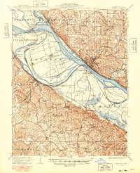
1915 Map of Chester
USGS Topo · Published 1948About this map
The Mississippi River and its dynamic floodplain dominate this early 20th-century landscape, revealing a river system in transition between Illinois and Missouri. The map provides a rare look at Kaskaskia Island, an enclave of Illinois territory situated west of the main river channel following the historic 19th-century shift of the riverbed. Settlement patterns are tied closely to the river and the rail lines, with Chester perched on the eastern bluffs overlooking the Penitentiary and the expansive bottomlands.
Find a feature on this map
77 named features on this map. Tap any name to fly to it.
Don’t see what you’re looking for? This feature index may not catch every label — zoom into the map to look around manually.
Map Details
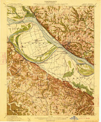
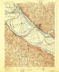
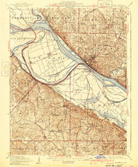
Editions of this 1915 Chester Map
5 editions found
Other maps of this area

1907 · Weingarten
USGS Topo · 1:62,500

1909 · Weingarten
USGS Topo · 1:62,500

1910 · Higdon
USGS Topo · 1:62,500

1912 · Baldwin
USGS Topo · 1:62,500

1914 · Baldwin
USGS Topo · 1:62,500

1914 · Coulterville
USGS Topo · 1:62,500

1915 · Renault
USGS Topo · 1:62,500

1915 · Chester
USGS Topo · 1:62,500

1916 · Campbell Hill
USGS Topo · 1:62,500

1917 · Coulterville
USGS Topo · 1:62,500