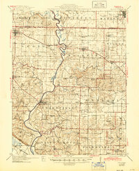
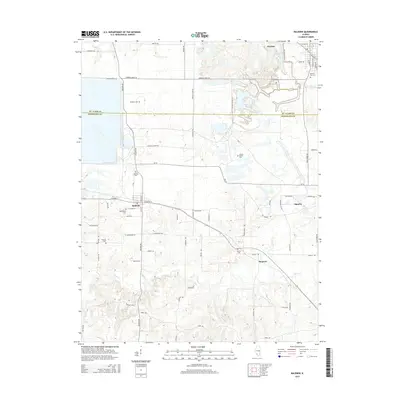
1912 Map of Baldwin
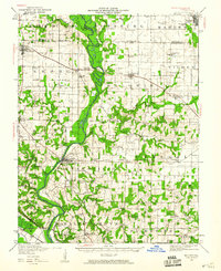
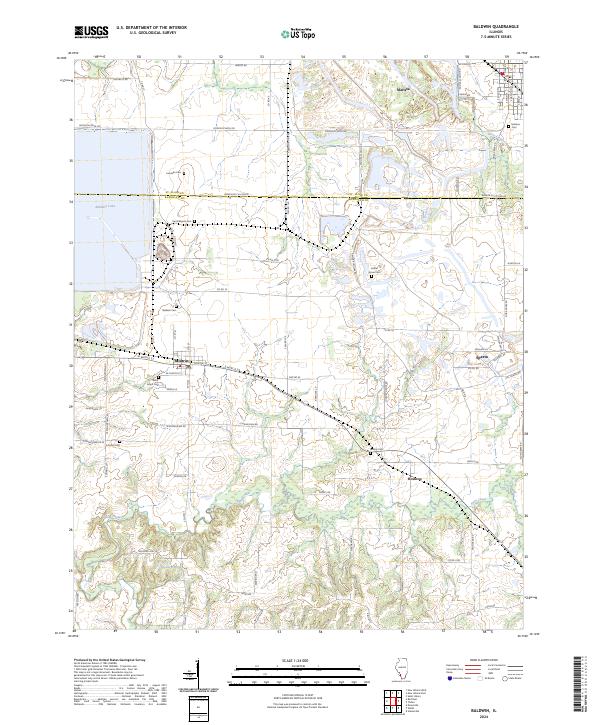
USGS Topo · Published 1967About this map
The Kaskaskia River snakes through the heart of Randolph and St. Clair counties, defining a landscape of river-bottom commerce and upland farmsteads. Surveyed just before the Great War and updated in the 1940s, the map reveals a dense network of one-room schoolhouses that once anchored these rural Illinois communities. From the Stringtown School near the river bluffs to the Jordan Grove School in the north, these educational landmarks are plotted alongside the established towns of Marissa, Red Bud, and Evansville.
Find a feature on this map
65 named features on this map. Tap any name to fly to it.
Don’t see what you’re looking for? This feature index may not catch every label — zoom into the map to look around manually.
Map Details
Editions of this 1912 Baldwin Map
This is the sole edition of this map. No revisions or reprints were ever made.
Historical Maps of Sparta Through Time
9 maps found