
1910 Map of Waterloo
USGS Topo · Published 1956About this map
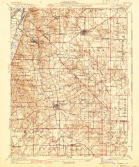
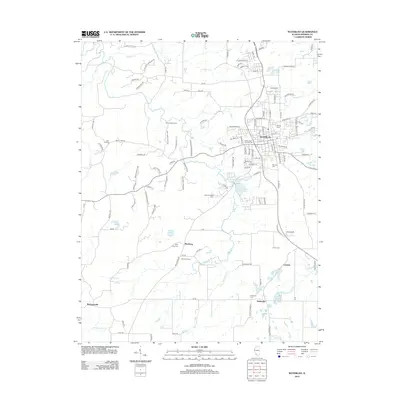
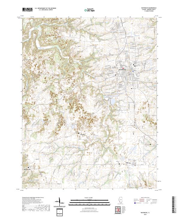
Waterloo and the surrounding agricultural landscapes of Monroe and St. Clair counties are documented here just after the first decade of the 1900s. The map illustrates a dense network of rural infrastructure, characterized by an exceptional number of one-room schoolhouses like Batz School, Shoemaker School, and Galli School. The local economy of the era is anchored by the Mobile and Ohio RR and the St. Louis and Belleville Electric RR, which provided vital transit for small settlements such as New Hanover Station and Millstadt Junction.
Find a feature on this map
97 named features on this map. Tap any name to fly to it.
Don’t see what you’re looking for? This feature index may not catch every label — zoom into the map to look around manually.
Map Details
Editions of this 1910 Waterloo Map
This is the sole edition of this map. No revisions or reprints were ever made.
Historical Maps of Belleville Through Time
10 maps found
1910 Waterloo
Monroe County, IL
1913 Waterloo
Monroe County, IL
1954 Waterloo
Monroe County, IL
1955 Waterloo
Monroe County, IL
1991 Waterloo
Monroe County, IL
2012 Waterloo
Monroe County, IL
2015 Waterloo
Monroe County, IL
2018 Waterloo
Monroe County, IL
2021 Waterloo
Monroe County, IL
2024 Waterloo
Monroe County, IL