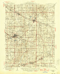
1914 Map of Coulterville
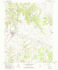
USGS Topo · Published 1965About this map
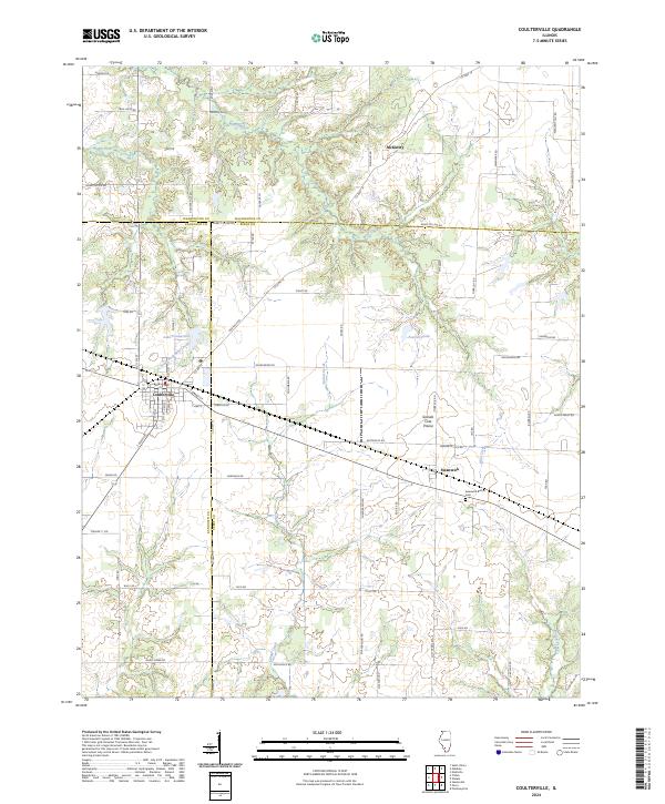
Coulterville stands as a central junction where the Illinois Central and Missouri and Illinois railroads intersect, anchoring a landscape defined by prairie agriculture and early 20th-century industrial transit. This portion of Southern Illinois, surveyed in the years before the Great War and revised as the second World War drew to a close, reveals a dense network of rural infrastructure, including a schoolhouse nearly every few miles. Notable rural centers like Gravel Hill School, Scotland School, and Plum Creek School served the families working the land between the Marys River and Galum Creek.
Find a feature on this map
68 named features on this map. Tap any name to fly to it.
Don’t see what you’re looking for? This feature index may not catch every label — zoom into the map to look around manually.
Map Details
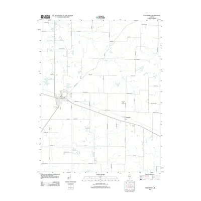
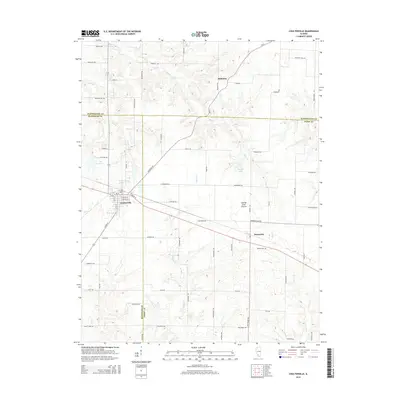
Editions of this 1914 Coulterville Map
This is the sole edition of this map. No revisions or reprints were ever made.
Historical Maps of Sparta Through Time
8 maps found