
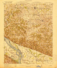
1918 Map of Campbell Hill
USGS Topo · Published 1918About this map
Campbell Hill and the surrounding high ground of Wine Hill overlook the river bottomlands where the Mississippi River defines the border between Illinois and Missouri. This era reveals a landscape deeply connected to both rail and river traffic, with the Mobile and Ohio RR and the St Louis Iron Mountain and Southern RR cutting through the interior while Wagners Landing and McLeans Pt serve the waterway. The complex river morphology is evident in features like Potato Bend, Liberty Bar, and Crains Island, alongside an extensive network of drainage ditches near Fountain Bluff. Settlement patterns are marked by numerous rural schoolhouses, including Ebenezer School, Tangen School, and the Lutheran School, which anchored small communities like Bremen and Shiloh Hill before modern consolidation altered the local social geography.
Find a feature on this map
95 named features on this map. Tap any name to fly to it.
Don’t see what you’re looking for? This feature index may not catch every label — zoom into the map to look around manually.
Map Details
Editions of this 1918 Campbell Hill Map
3 editions found
Other maps of this area

1910 · Murphysboro
USGS Topo · 1:62,500

1912 · Baldwin
USGS Topo · 1:62,500

1914 · Baldwin
USGS Topo · 1:62,500

1914 · Coulterville
USGS Topo · 1:62,500

1915 · Chester
USGS Topo · 1:62,500

1916 · Campbell Hill
USGS Topo · 1:62,500

1917 · Coulterville
USGS Topo · 1:62,500

1918 · Altenburg
USGS Topo · 1:62,500

1923 · Perryville
USGS Topo · 1:62,500

1924 · Perryville
USGS Topo · 1:62,500