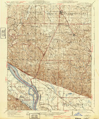
1918 Map of Campbell Hill
USGS Topo · Published 1940About this map
Mississippi River bottomlands and the dissected uplands of Southern Illinois define this landscape, surveyed during the mid-1910s. The river's winding course is marked by significant features like Liberty Island and Crains Island, while the interior is dotted with a dense network of country schools, including Mound Ridge School and Swamp Hollow School. The rail-driven economies of Willisville, Percy, and Steeleville appear in their early 20th-century layout, connected by the Mobile and Ohio and Missouri Pacific lines.
Find a feature on this map
80 named features on this map. Tap any name to fly to it.
Don’t see what you’re looking for? This feature index may not catch every label — zoom into the map to look around manually.
Map Details
Editions of this 1918 Campbell Hill Map
3 editions found
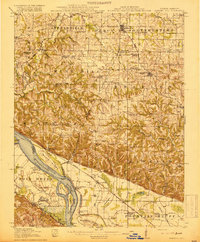
Other maps of this area

1910 · Murphysboro
USGS Topo · 1:62,500

1912 · Baldwin
USGS Topo · 1:62,500

1914 · Baldwin
USGS Topo · 1:62,500

1914 · Coulterville
USGS Topo · 1:62,500

1915 · Chester
USGS Topo · 1:62,500

1916 · Campbell Hill
USGS Topo · 1:62,500

1917 · Coulterville
USGS Topo · 1:62,500

1918 · Altenburg
USGS Topo · 1:62,500

1918 · Campbell Hill
USGS Topo · 1:62,500

1923 · Perryville
USGS Topo · 1:62,500