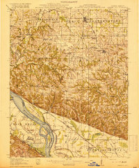
1918 Map of Campbell Hill
USGS Topo · Published 1918About this map
Mississippi River floodplains and the high bluffs of Southern Illinois define this 1910s landscape, where river commerce meets upland farming. The area is densely dotted with rural educational landmarks like Mound Ridge School and Springvale School, reflecting the decentralized settlement patterns of the era. Near the river, the Pacific Ferry and Wagners Landing mark vital transport points before the widespread adoption of modern bridges, while the Wabash Chester and Western RR cuts through the northern townships of Steeleville and Percy.
Find a feature on this map
86 named features on this map. Tap any name to fly to it.
Don’t see what you’re looking for? This feature index may not catch every label — zoom into the map to look around manually.
Map Details
Editions of this 1918 Campbell Hill Map
3 editions found
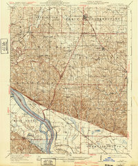
Other maps of this area

1910 · Murphysboro
USGS Topo · 1:62,500

1912 · Baldwin
USGS Topo · 1:62,500

1914 · Baldwin
USGS Topo · 1:62,500

1914 · Coulterville
USGS Topo · 1:62,500

1915 · Chester
USGS Topo · 1:62,500

1916 · Campbell Hill
USGS Topo · 1:62,500

1917 · Coulterville
USGS Topo · 1:62,500

1918 · Altenburg
USGS Topo · 1:62,500

1918 · Campbell Hill
USGS Topo · 1:62,500

1923 · Perryville
USGS Topo · 1:62,500