
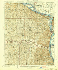
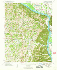
1918 Map of Altenburg
USGS Topo · Published 1918About this map
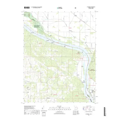
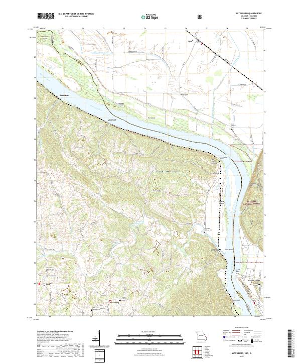
The Mississippi River creates a dramatic boundary between Missouri and Illinois on this preliminary survey from 1915. Centered on the riverside landscape of Perry and Jackson counties, the map highlights the intricate relationship between the river's shifting path and human commerce. Riverboat traffic is well-documented through historic points like Upper Wilkinson Landing and Brunkhurst Landing, while the inland geography is defined by a massive Drainage Ditch system designed to reclaim fertile bottomlands for farming.
Find a feature on this map
23 named features on this map. Tap any name to fly to it.
Don’t see what you’re looking for? This feature index may not catch every label — zoom into the map to look around manually.
Map Details
Editions of this 1918 Altenburg Map
This is the sole edition of this map. No revisions or reprints were ever made.
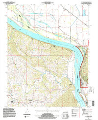
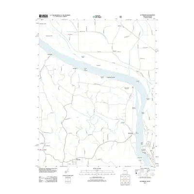
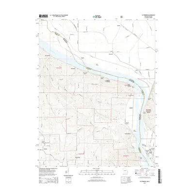
Historical Maps of Grand Tower Through Time
11 maps found
1918 Altenburg
Perry County, MO
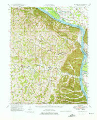
1925 Altenburg
Perry County, MO
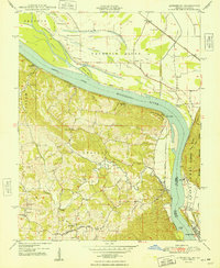
1947 Altenburg
Perry County, MO
1947 Altenburg
Perry County, MO
1948 Altenburg
Perry County, MO
1949 Altenburg
Perry County, MO
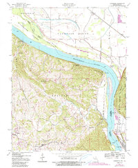
1994 Altenburg
Perry County, MO
2012 Altenburg
Perry County, MO
2015 Altenburg
Perry County, MO
2017 Altenburg
Perry County, MO
2021 Altenburg
Perry County, MO