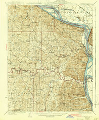
1925 Map of Altenburg
USGS Topo · Published 1942About this map
Mississippi River riverfront commerce and traditional Saxon German settlements define this landscape along the border of Perry and Cape Girardeau counties. The 1940 culture revision highlights established communities like Altenburg, Frohna, and Brazeau, while the riverbank is dotted with historic landing sites including Leimbach Landing and Bronkhurst Landing. A dense network of local schools, such as Apple Creek Valley School and Fiehler School, serves the rural farming districts between the river and the interior. Industrial activity is concentrated at the Silica Mines near the river, while the complex rail network of the St Louis San Francisco and Missouri Pacific lines facilitates the movement of goods. Notable landmarks like the Devils Bake Oven and Grand Tower Island provide distinct navigational points along the shifting river channel.
Find a feature on this map
97 named features on this map. Tap any name to fly to it.
Don’t see what you’re looking for? This feature index may not catch every label — zoom into the map to look around manually.
Map Details
Editions of this 1925 Altenburg Map
3 editions found

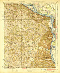
Other maps of this area

1910 · Murphysboro
USGS Topo · 1:62,500

1915 · Chester
USGS Topo · 1:62,500

1916 · Campbell Hill
USGS Topo · 1:62,500

1918 · Altenburg
USGS Topo · 1:62,500

1918 · Campbell Hill
USGS Topo · 1:62,500

1920 · Jonesboro
USGS Topo · 1:62,500

1922 · Cape Girardeau
USGS Topo · 1:62,500

1923 · Jonesboro
USGS Topo · 1:62,500

1923 · Perryville
USGS Topo · 1:62,500

1924 · Cape Girardeau
USGS Topo · 1:62,500