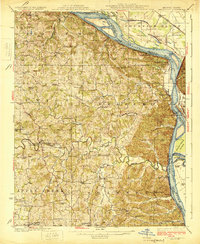
1925 Map of Altenburg
USGS Topo · Published 1925About this map
Altenburg, Frohna, and Wittenberg anchor this 1925 survey, reflecting the deep-rooted German Lutheran heritage of eastern Perry County. The landscape is defined by the sharp drop from the upland loess hills down to the Mississippi River, where river commerce once relied on numerous family-named landings such as Leimbach Landing and Brunkhurst Landing. The St Louis San Francisco RR follows the narrow riverbank, squeezing past geological landmarks like Tower Rock and the Devils Bake Oven. Inland, the map reveals a dense network of country schools and churches, including Goshen Church and the Fiehler School, which served the farming communities of Brazeau and Shawnee townships. Industrial activity is noted at the Silica Mines near the river, while the complex river geometry near Grand Tower Island shows the constant shifting of the state boundary between Missouri and Illinois.
Find a feature on this map
91 named features on this map. Tap any name to fly to it.
Don’t see what you’re looking for? This feature index may not catch every label — zoom into the map to look around manually.
Map Details
Editions of this 1925 Altenburg Map
3 editions found

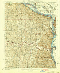
Other maps of this area

1910 · Murphysboro
USGS Topo · 1:62,500

1915 · Chester
USGS Topo · 1:62,500

1916 · Campbell Hill
USGS Topo · 1:62,500

1918 · Altenburg
USGS Topo · 1:62,500

1918 · Campbell Hill
USGS Topo · 1:62,500

1920 · Jonesboro
USGS Topo · 1:62,500

1922 · Cape Girardeau
USGS Topo · 1:62,500

1923 · Jonesboro
USGS Topo · 1:62,500

1923 · Perryville
USGS Topo · 1:62,500

1924 · Cape Girardeau
USGS Topo · 1:62,500