
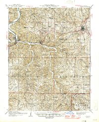
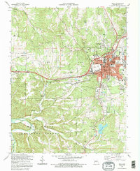
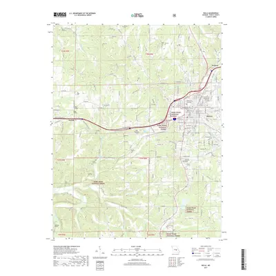
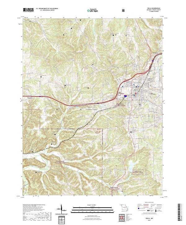
1949 Map of Rolla
USGS Topo · Published 1950About this map
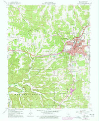
The Ozark Plateau and the ancient granite peaks of the St. Francois Mountains dominate this late 1940s landscape. From the military installations at Fort Leonard Wood to the mining operations in the Old Lead Belt around Flat River and Bonne Terre, the map captures a region defined by its timber, minerals, and water. Notable natural features include Taum Sauk Mountain, the state's highest point, and the remarkable concentration of first-magnitude springs such as Big Spring, Alley Spring, and Greer Spring.
Find a feature on this map
189 named features on this map. Tap any name to fly to it.
Don’t see what you’re looking for? This feature index may not catch every label — zoom into the map to look around manually.
Map Details
Editions of this 1949 Rolla Map
This is the sole edition of this map. No revisions or reprints were ever made.
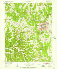
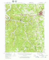
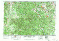
Historical Maps of Rolla Through Time
22 maps found
1912 Rolla
Phelps County, MO
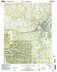
1949 Rolla
Phelps County, MO
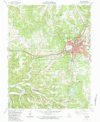
1951 Rolla
Phelps County, MO
1951 Rolla
Phelps County, MO

1953 Rolla
Phelps County, MO
1954 Rolla
Phelps County, MO

1958 Rolla
Phelps County, MO

1959 Rolla
Phelps County, MO

1960 Rolla
Phelps County, MO
1963 Rolla
Phelps County, MO

1966 Rolla
Phelps County, MO

1971 Rolla
Phelps County, MO
1980 Rolla
Phelps County, MO
1985 Rolla
Phelps County, MO
1986 Rolla
Phelps County, MO

1989 Rolla
Phelps County, MO
1992 Rolla
Phelps County, MO
2004 Rolla
Phelps County, MO
2013 Rolla
Phelps County, MO
2015 Rolla
Phelps County, MO
2017 Rolla
Phelps County, MO
2021 Rolla
Phelps County, MO