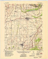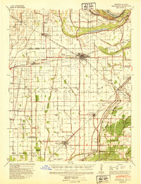
1939 Map of Charleston
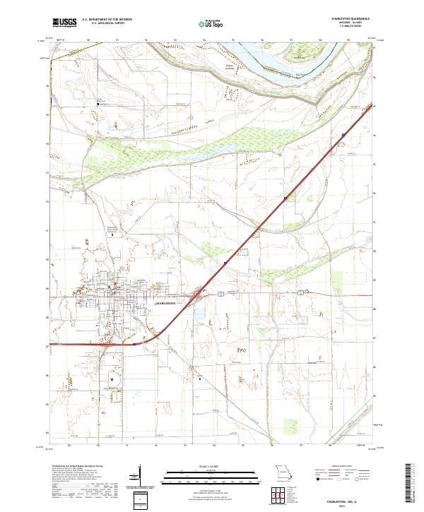
USGS Topo · Published 1941About this map
Charleston and East Prairie anchor this corner of the Missouri Bootheel during a period of intensive river engineering and agricultural drainage. This 1930s survey, updated just before the war, details the intricate levee and ditch system designed to manage the Mississippi River floodplain, including landmarks like Texas Bend and Upper Buffalo Island. The landscape is densely packed with local institutions, from the Gravel Ridge Ch & Sch to curiosities like the Pulltight Sch and Yellow Dog Sch, reflecting a rural society built around small school districts.
Find a feature on this map
57 named features on this map. Tap any name to fly to it.
Don’t see what you’re looking for? This feature index may not catch every label — zoom into the map to look around manually.
Map Details
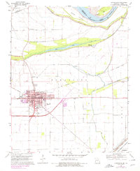
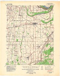
Editions of this 1939 Charleston Map
2 editions found
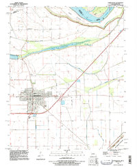
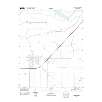
Historical Maps of Charleston Through Time
8 maps found