
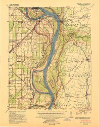
1939 Map of Wickliffe
USGS Topo · Published 1939About this map
The confluence of the Ohio River and Mississippi River dominates this 1930s landscape, where the shifting waters of Greenfield Bend and Puntney Bend shaped the development of Wickliffe and Cairo. This era was defined by a complex network of levees and river improvements protecting settlements like Wyatt and Deventer. The map reveals a land heavily utilized for both industry and spiritual life, as evidenced by the high concentration of combined institutions like Cane Cr Ch & Sch and Holloway Ch & Sch.
Find a feature on this map
86 named features on this map. Tap any name to fly to it.
Don’t see what you’re looking for? This feature index may not catch every label — zoom into the map to look around manually.
Map Details
Editions of this 1939 Wickliffe Map
2 editions found
Other maps of this area

1928 · La Center
USGS Topo · 1:62,500

1931 · Cairo
USGS Topo · 1:62,500

1932 · La Center
USGS Topo · 1:62,500

1933 · Cairo
USGS Topo · 1:62,500

1934 · Thebes
USGS Topo · 1:62,500

1939 · Charleston
USGS Topo · 1:62,500

1939 · Hickman
USGS Topo · 1:62,500

1939 · Bayouville
USGS Topo · 1:62,500

1939 · Cairo
USGS Topo · 1:62,500

1939 · Thebes
USGS Topo · 1:62,500