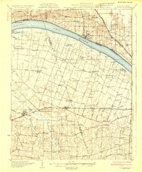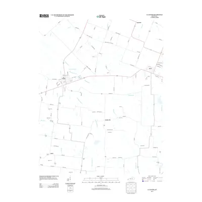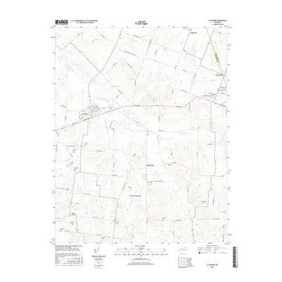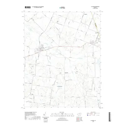
1928 Map of La Center
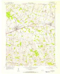
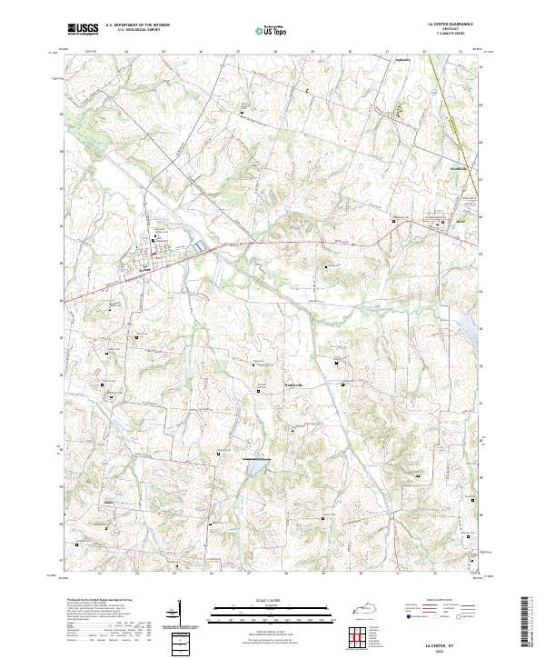
USGS Topo · Published 1964About this map
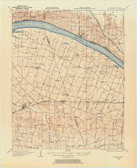
Monkeys Eyebrow and Needmore sit at the northern edge of this late 1920s survey, where the Ohio River divides the terrain between Kentucky and Illinois. The landscape is defined by the sweeping Grand Chain landing and a dense network of country schools and rural chapels. Settlements like La Center and Bandana are connected by a mix of early transit routes, including the Illinois Central Railroad and the Post Creek Cutoff. The drainage patterns of Clanton Creek and Massac Creek carve through the agricultural heart of Ballard and McCracken counties. Genealogists will find a wealth of local landmarks, from the Gum Corners Sch to Milburn Chapel, providing a precise record of rural community life before the mid-century expansion of modern highway systems.
Find a feature on this map
73 named features on this map. Tap any name to fly to it.
Don’t see what you’re looking for? This feature index may not catch every label — zoom into the map to look around manually.
Map Details
Editions of this 1928 La Center Map
This is the sole edition of this map. No revisions or reprints were ever made.
Historical Maps of La Center Through Time
9 maps found