
1929 Map of Paducah
USGS Topo · Published 1929About this map
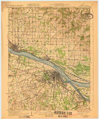
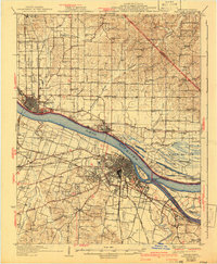
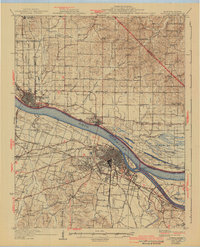
The confluence of the Ohio River and Tennessee River serves as the dominant focal point for this 1920s survey, illustrating the vital maritime and rail hub of Paducah. Across the water in Illinois, Metropolis and Brookport are linked by the Illinois Central RR, which spans the river to connect these regional centers. The map reveals an intricate network of local roads such as Noble Road and Kinkleville Road that bind together numerous rural schoolhouses and churches, including Temple Mill Sch and Hamilton Chapel. One fascinating detail is the inclusion of the County Sanitarium and the nearby Ft Massac Park, reflecting the public health and civic preservation priorities of the era. The presence of Owens Island and Black Bottom highlights the low-lying riverine landscape that defined life along these major American waterways before mid-century changes.
Find a feature on this map
87 named features on this map. Tap any name to fly to it.
Don’t see what you’re looking for? This feature index may not catch every label — zoom into the map to look around manually.
Map Details
Editions of this 1929 Paducah Map
4 editions found
Other maps of this area

1916 · Golconda
USGS Topo · 1:62,500

1917 · Brownfield
USGS Topo · 1:62,500

1918 · Vienna
USGS Topo · 1:62,500

1919 · Vienna
USGS Topo · 1:62,500

1920 · Goloonda
USGS Topo · 1:48,000

1921 · Golconda
USGS Topo · 1:62,500

1926 · Paducah
USGS Topo · 1:62,500

1928 · La Center
USGS Topo · 1:62,500

1929 · Smithland
USGS Topo · 1:62,500

1932 · La Center
USGS Topo · 1:62,500