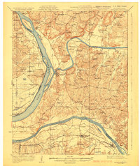
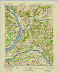
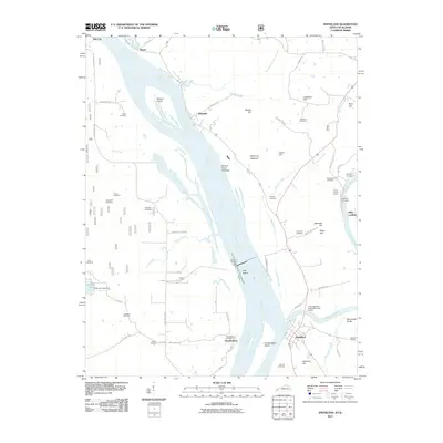
1929 Map of Smithland
USGS Topo · Published 1929About this map
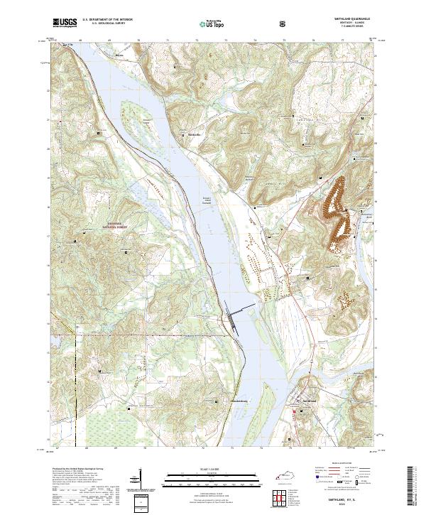
Smithland serves as the focal point of this 1920s river confluence, where the Ohio River, Cumberland River, and Tennessee River meet. The map documents a period of heavy river commerce and industrial exploration, evidenced by numerous river access points such as Rappolee Landing, Miller Landing, and Cooper Landing. The landscape is dotted with small rural education and faith centers like Moselle Sch, Mantz Sch, and Livingston Chapel, reflecting the distributed settlement patterns of Livingston County at the time. Further east, a cluster of extractive operations including the Klondike Mine, Atwood Mine, and Hudson Mine indicates a diversified local economy beyond the river traffic. Notable crossings like Haddox Ferry provide evidence of early connectivity between the Kentucky and Illinois shorelines before modern bridge infrastructure dominated the region.
Find a feature on this map
94 named features on this map. Tap any name to fly to it.
Don’t see what you’re looking for? This feature index may not catch every label — zoom into the map to look around manually.
Map Details
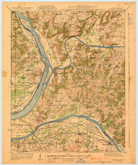
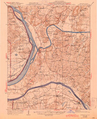
Editions of this 1929 Smithland Map
3 editions found
Historical Maps of Calvert City Through Time
11 maps found
1929 Smithland
Livingston County, KY
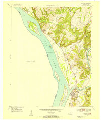
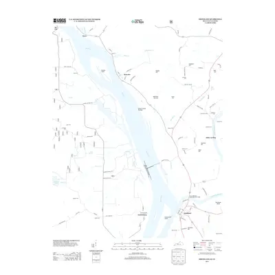
1936 Smithland
Livingston County, KY
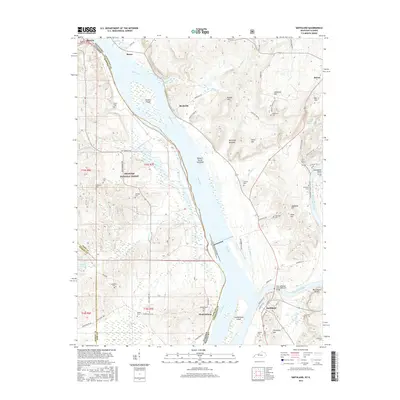
1942 Smithland
Livingston County, KY
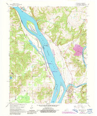
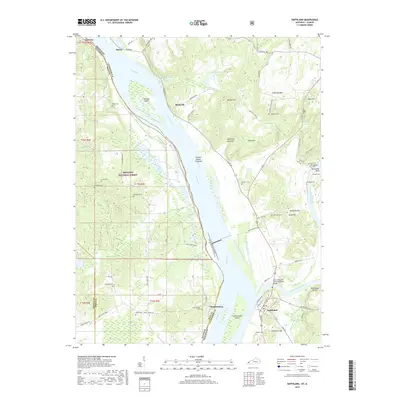
1954 Smithland
Livingston County, KY
1967 Smithland
Livingston County, KY
1996 Smithland
Livingston County, KY
2011 Smithland
Livingston County, KY
2013 Smithland
Livingston County, KY
2016 Smithland
Livingston County, KY
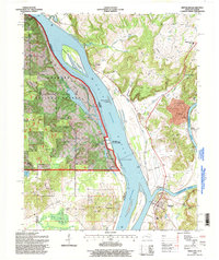
2019 Smithland
Livingston County, KY
2022 Smithland
Livingston County, KY