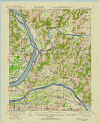
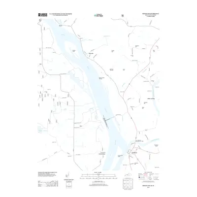
1967 Map of Smithland
USGS Topo · Published 1990About this map
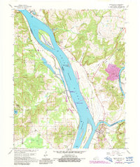
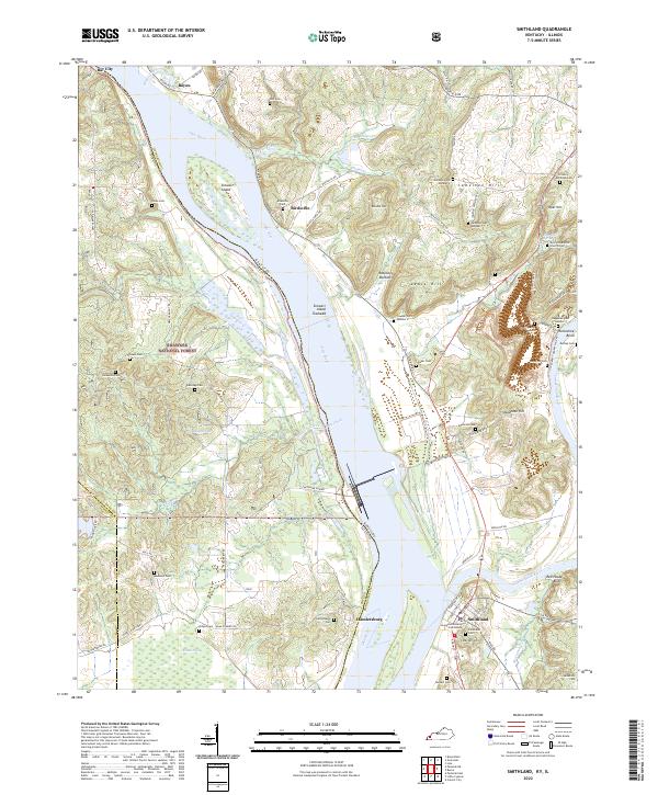
The confluence of the Cumberland River and the Ohio River defines the landscape of this river-centered region at the border of Kentucky and Illinois. The town of Smithland serves as a vital point of transit, anchored by the Smithland Lock and Dam and the Lucy Jefferson Lewis Memorial Bridge. Across the Ohio, the Shawnee National Forest covers much of the Illinois side, including the shoreline at Bay City. This era shows a landscape where industrial activity, such as the Dyer Hill Mine and Three Rivers Quarry, exists alongside long-established rural sites like the Birdsville Cemetery and Audubon Church. Notable natural landmarks like Sweet Potato Cave and the Red House Bluffs overlook the winding waterways, while numerous family-named cemeteries such as Kickaiaola Cemetery and Jameson Cemetery dot the hills and bottoms.
Find a feature on this map
73 named features on this map. Tap any name to fly to it.
Don’t see what you’re looking for? This feature index may not catch every label — zoom into the map to look around manually.
Map Details
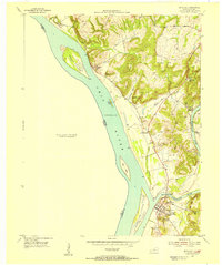
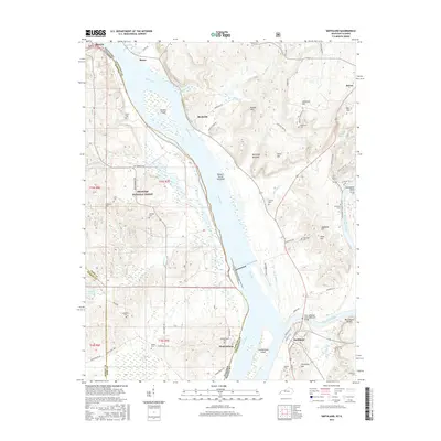
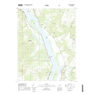
Editions of this 1967 Smithland Map
2 editions found
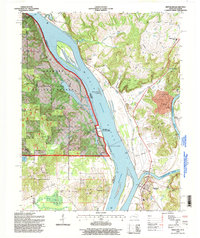
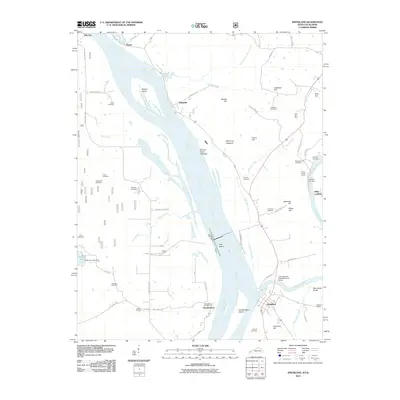
Historical Maps of Smithland Through Time
11 maps found
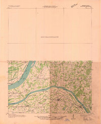
1929 Smithland
Livingston County, KY
1936 Smithland
Livingston County, KY
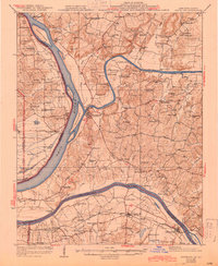
1942 Smithland
Livingston County, KY
1954 Smithland
Livingston County, KY
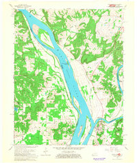
1967 Smithland
Livingston County, KY
1996 Smithland
Livingston County, KY
2011 Smithland
Livingston County, KY
2013 Smithland
Livingston County, KY
2016 Smithland
Livingston County, KY
2019 Smithland
Livingston County, KY
2022 Smithland
Livingston County, KY