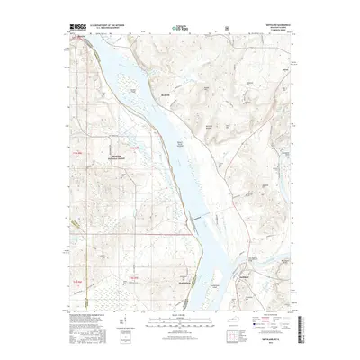
2016 Map of Smithland
USGS Topo · Published 2016About this map
The Ohio River serves as the central artery and state boundary between Kentucky and Illinois, carving a wide path past the historic riverfront community of Smithland. This modern survey documents the complex confluence where the Cumberland River meets the Ohio, featuring islands and towheads such as Stewart Island and Cumberland Island. The landscape on either side of the water is dotted with small settlements like Birdsville, Burna, and Hamletsburg, as well as numerous family-named landmarks and resting places.
Find a feature on this map
91 named features on this map. Tap any name to fly to it.
Don’t see what you’re looking for? This feature index may not catch every label — zoom into the map to look around manually.
Map Details
Editions of this 2016 Smithland Map
This is the sole edition of this map. No revisions or reprints were ever made.
Other maps of this area

1916 · Golconda
USGS Topo · 1:62,500

1917 · Brownfield
USGS Topo · 1:62,500

1920 · Goloonda
USGS Topo · 1:48,000

1921 · Golconda
USGS Topo · 1:62,500

1926 · Paducah
USGS Topo · 1:62,500

1929 · Smithland
USGS Topo · 1:62,500

1929 · Paducah
USGS Topo · 1:62,500

1936 · Paducah
USGS Topo · 1:24,000

1936 · Smithland
USGS Topo · 1:48,000
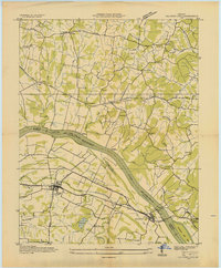
1936 · Calvert City
USGS Topo · 1:24,000