Loading...
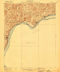
Loading map...1916 Map of Golconda
USGS Topo · Published 1916About this map
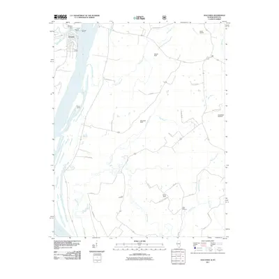
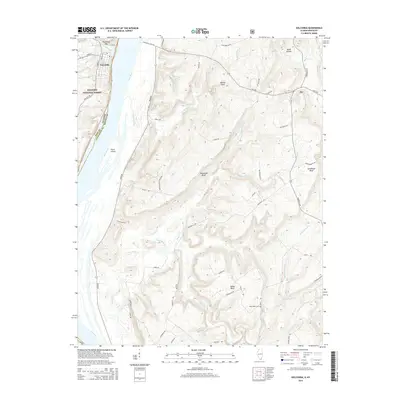
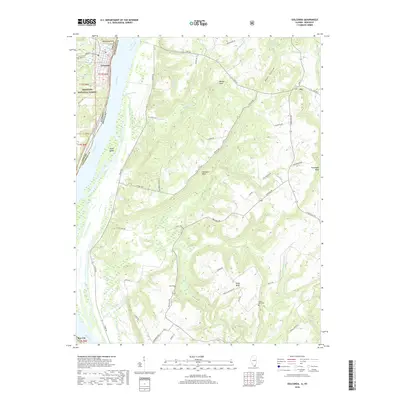
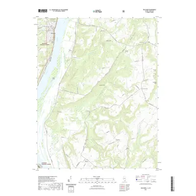
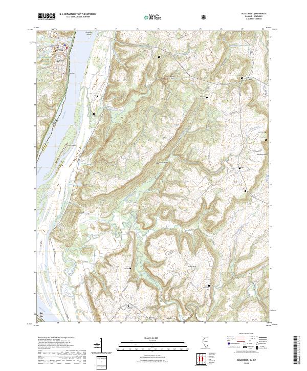
The Ohio River dominates this 1914 survey, serving as the defining border between Illinois and Kentucky. The riverside settlements of Golconda, Elizabethtown, and Rosiclare act as primary hubs of activity, anchored by the river's commerce. The interior landscape is heavily dotted with rural social centers, including numerous educational sites like Grandview, Union, and the Rock Quarry School.
Find a feature on this map
44 named features on this map. Tap any name to fly to it.
Don’t see what you’re looking for? This feature index may not catch every label — zoom into the map to look around manually.
Map Details
Date Portrayed1916
Date Published1916
PublisherU.S. Geological Survey
Map TypeTopographic
Scale1:62,500
Physical Dimensions16.3 x 19.7 inches
Editions of this 1916 Golconda Map
This is the sole edition of this map. No revisions or reprints were ever made.
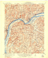
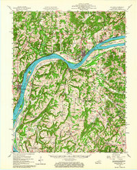
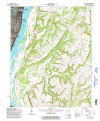
Historical Maps of Rosiclare Through Time
10 maps found

Featured Locations
Source Details
SourceU.S. Geological Survey
CopyrightPublic Domain