
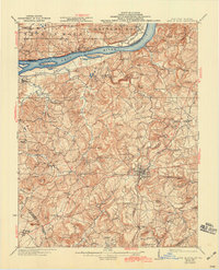
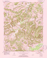
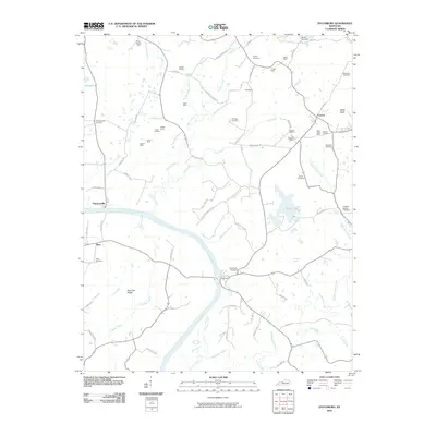
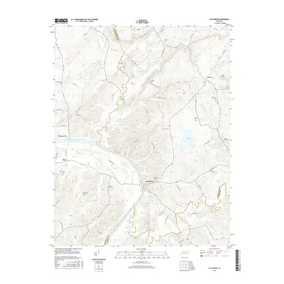
1921 Map of Fords Ferry
USGS Topo · Published 1921About this map
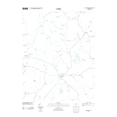
Marion serves as the focal point of this 1921 survey, situated at the junction of the Illinois Central railroad and major regional thoroughfares like the Princeton Road. This document captures the agrarian and riverine landscape of northern Crittenden County before major modern developments, showing a dense network of one-room schoolhouses and country churches that anchored early 20th-century life. Along the Ohio River, several significant islands including Cave In Rock Island and Hurricane Island are charted alongside the namesake Fords Ferry School. The interior is characterized by complex drainages like Crooked Creek and Hurricane Creek, punctuated by natural landmarks such as The Sinks and Crittenden Spring. Genealogists will find wealth in the dozens of named schools, such as Post Oak School and Lily Dale School, which map the social geography of vanished rural districts.
Find a feature on this map
83 named features on this map. Tap any name to fly to it.
Don’t see what you’re looking for? This feature index may not catch every label — zoom into the map to look around manually.
Map Details
Editions of this 1921 Fords Ferry Map
This is the sole edition of this map. No revisions or reprints were ever made.
Historical Maps of Marion Through Time
28 maps found
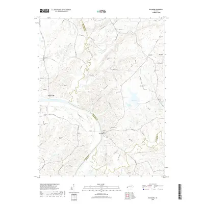
1921 Fords Ferry
Crittenden County, KY
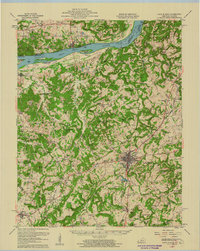
1925 Cave In Rock
Crittenden County, KY
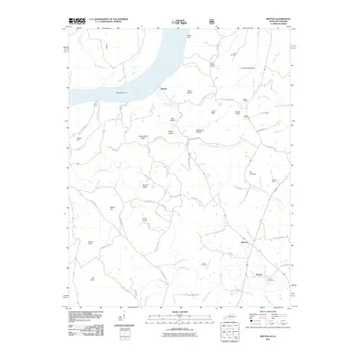
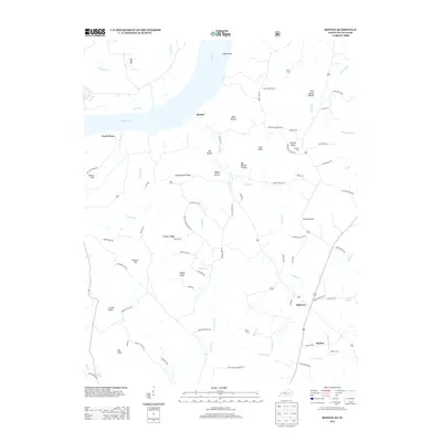
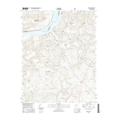
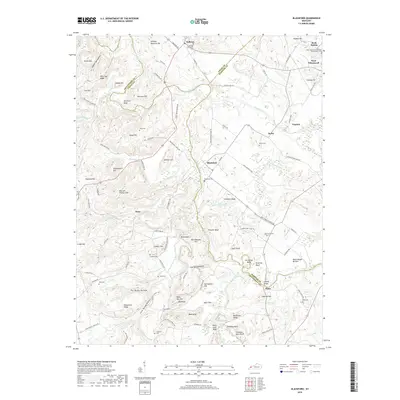
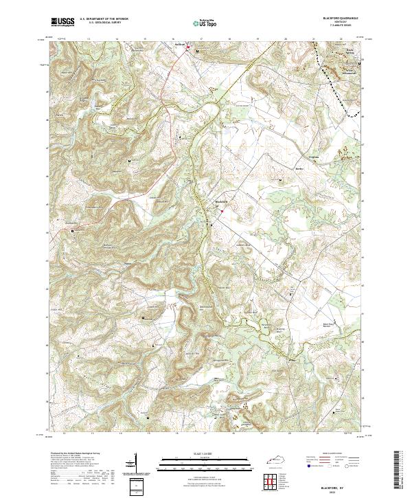
1954 Blackford
Crittenden County, KY
1954 Dycusburg
Crittenden County, KY
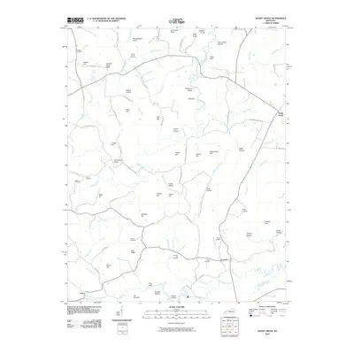
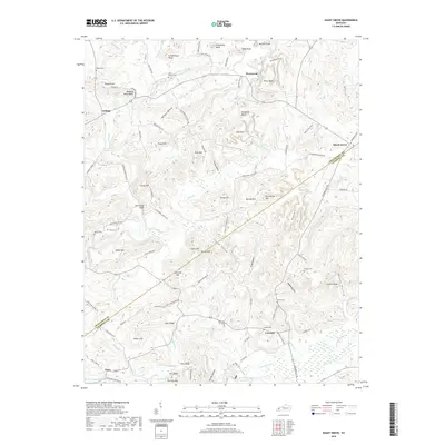
1954 Repton
Crittenden County, KY
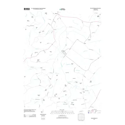
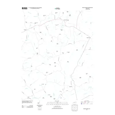
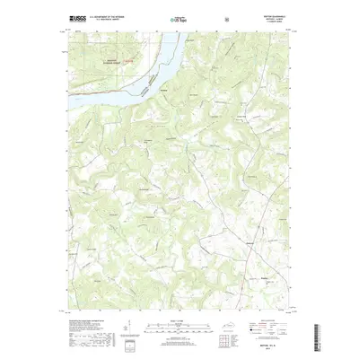
1954 Shady Grove
Crittenden County, KY
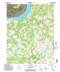
1958 Cave In Rock
Crittenden County, KY
1996 Repton
Crittenden County, KY
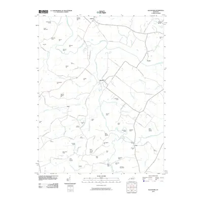
2010 Blackford
Crittenden County, KY
2010 Dycusburg
Crittenden County, KY
2010 Shady Grove
Crittenden County, KY
2011 Repton
Crittenden County, KY
2013 Blackford
Crittenden County, KY
2013 Dycusburg
Crittenden County, KY
2013 Repton
Crittenden County, KY
2013 Shady Grove
Crittenden County, KY
2016 Blackford
Crittenden County, KY
2016 Dycusburg
Crittenden County, KY
2016 Repton
Crittenden County, KY
2016 Shady Grove
Crittenden County, KY
2019 Blackford
Crittenden County, KY
2019 Dycusburg
Crittenden County, KY
2019 Repton
Crittenden County, KY
2019 Shady Grove
Crittenden County, KY
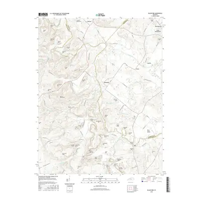
2022 Blackford
Crittenden County, KY
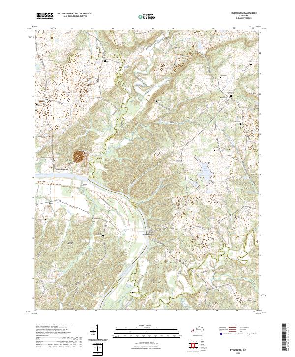
2022 Dycusburg
Crittenden County, KY
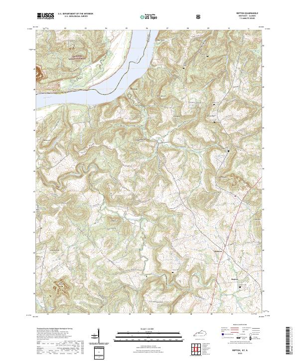
2022 Repton
Crittenden County, KY
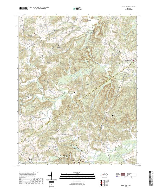
2022 Shady Grove
Crittenden County, KY