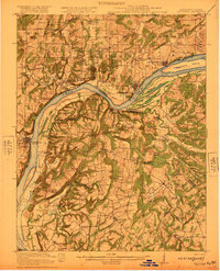
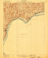
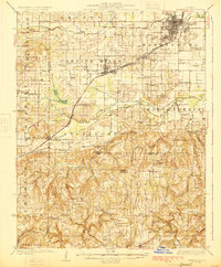
1921 Map of Golconda
USGS Topo · Published 1921About this map
The Ohio River dominates this 1921 survey, serving as the critical boundary between Illinois and Kentucky. This stretch of the river is a portrait of early 20th-century commerce and transit, featuring the town of Golconda and the active river crossing at Berrys Ferry. The Illinois side is heavily marked by small rural institutions, including a remarkable density of schoolhouses such as Rock Quarry School and Bethesda School, alongside landmarks like Cammens Store.
Find a feature on this map
83 named features on this map. Tap any name to fly to it.
Don’t see what you’re looking for? This feature index may not catch every label — zoom into the map to look around manually.
Map Details
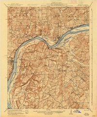
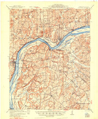
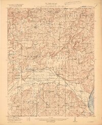
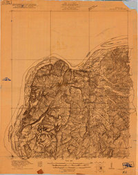
Editions of this 1921 Golconda Map
3 editions found
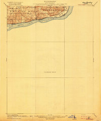
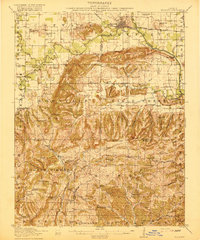
Other maps of this area

1916 · Shawneetown
USGS Topo · 1:62,500
1916 · Fords Ferry
USGS Topo · 1:62,500
1916 · Golconda
USGS Topo · 1:62,500
1916 · Equality
USGS Topo · 1:62,500
1917 · Brownfield
USGS Topo · 1:62,500
1920 · Goloonda
USGS Topo · 1:48,000

1921 · Fords Ferry
USGS Topo · 1:48,000
1925 · Harrisburg
USGS Topo · 1:62,500
1925 · Cave In Rock
USGS Topo · 1:62,500

1926 · Paducah
USGS Topo · 1:62,500